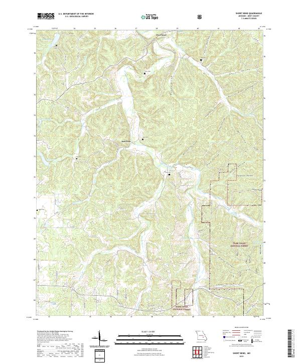
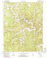
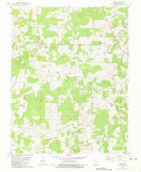
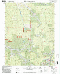
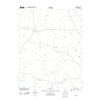
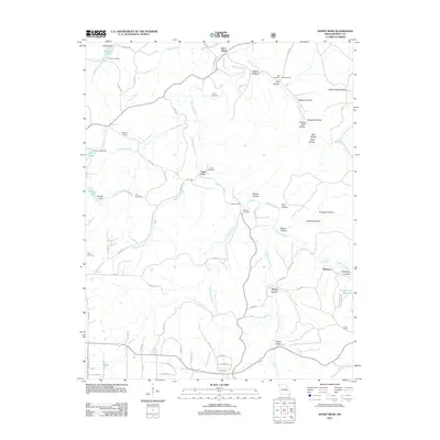
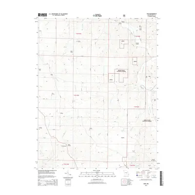
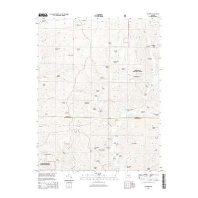
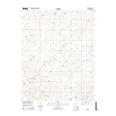
2021 Map of Short Bend
USGS Topo · Published 2021About this map
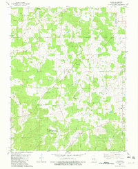
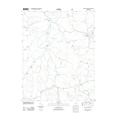
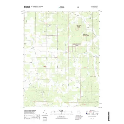
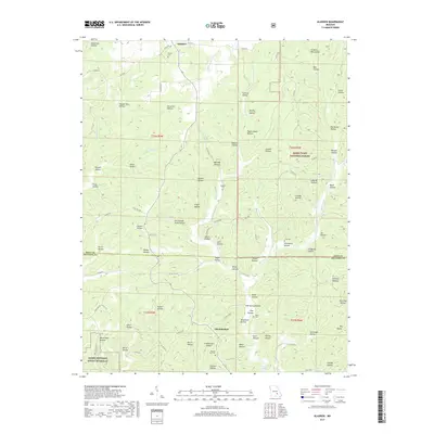
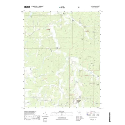
The Meramec River winds through this section of the Ozarks, defining a landscape of deep hollows and creek valleys in northern Dent County. The small community of Short Bend sits near the river's northern reach on this sheet, while the crossing at Dent Ford highlights an era of river-bottom travel and local commerce. Family history is preserved across numerous rural burial grounds, including the Fraser Cem, Pryor Cem, and Maledy Cem, which are tucked away near the hillsides and river bends. Much of the southeastern portion of the map is dominated by the Mark Twain National Forest, where the terrain becomes increasingly complex with named features like Beasley Hollow and Capps Hollow. This 2021 survey illustrates a modern view of a region that maintains its traditional settlement patterns, with isolated homesteads and springs like Gamblin Spring and Twin Springs scattered among the timber and ridge roads.
Find a feature on this map
73 named features on this map. Tap any name to fly to it.
Don’t see what you’re looking for? This feature index may not catch every label — zoom into the map to look around manually.
Map Details
Editions of this 2021 Short Bend Map
This is the sole edition of this map. No revisions or reprints were ever made.
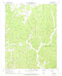
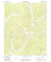
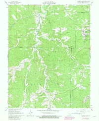
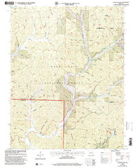
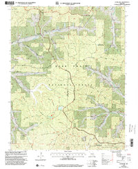
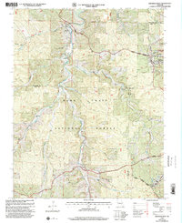
Historical Maps of Mounce Through Time
68 maps found
1941 Stone Hill
Dent County, MO
1945 Stone Hill
Dent County, MO
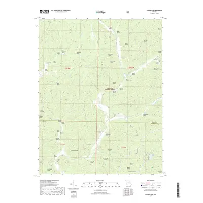
1951 Cedargrove
Dent County, MO
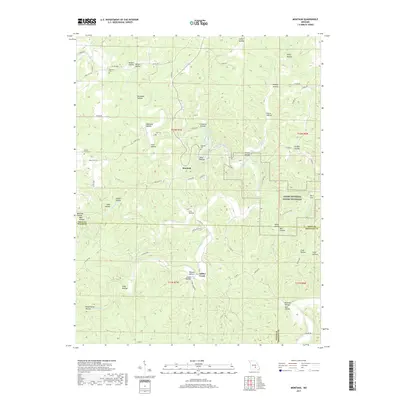
1951 Montauk
Dent County, MO
1967 Gladden
Dent County, MO
1967 Loggers Lake
Dent County, MO
1967 Viburnum West
Dent County, MO
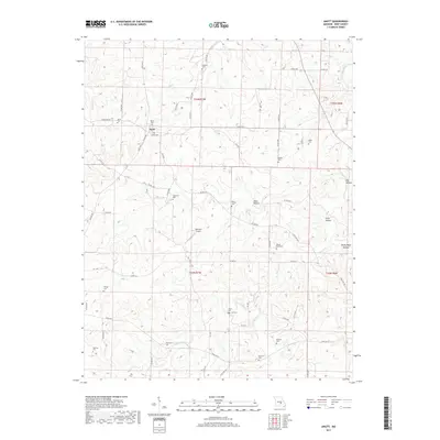
1981 Anutt
Dent County, MO
1981 Darien
Dent County, MO
1981 Doss
Dent County, MO
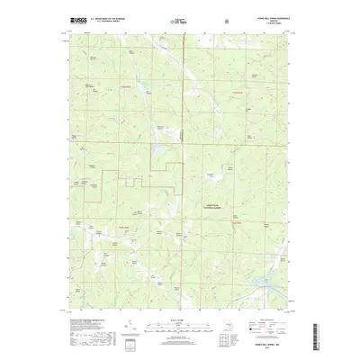
1981 Howes Mill Spring
Dent County, MO
1981 Rhyse
Dent County, MO
1981 Short Bend
Dent County, MO
1981 Stone Hill
Dent County, MO

1992 Anutt
Dent County, MO
1992 Rhyse
Dent County, MO
1999 Howes Mill Spring
Dent County, MO
1999 Loggers Lake
Dent County, MO
1999 Stone Hill
Dent County, MO
1999 Viburnum West
Dent County, MO
2011 Anutt
Dent County, MO
2011 Cedargrove
Dent County, MO
2011 Darien
Dent County, MO
2011 Doss
Dent County, MO
2011 Gladden
Dent County, MO
2011 Montauk
Dent County, MO
2011 Rhyse
Dent County, MO
2011 Short Bend
Dent County, MO
2011 Viburnum West
Dent County, MO
2012 Howes Mill Spring
Dent County, MO
2012 Loggers Lake
Dent County, MO
2012 Stone Hill
Dent County, MO
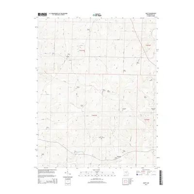
2015 Anutt
Dent County, MO
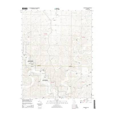
2015 Cedargrove
Dent County, MO
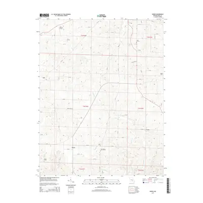
2015 Darien
Dent County, MO
2015 Doss
Dent County, MO
2015 Gladden
Dent County, MO
2015 Howes Mill Spring
Dent County, MO
2015 Loggers Lake
Dent County, MO
2015 Montauk
Dent County, MO
2015 Rhyse
Dent County, MO
2015 Short Bend
Dent County, MO
2015 Stone Hill
Dent County, MO
2015 Viburnum West
Dent County, MO
2017 Anutt
Dent County, MO
2017 Cedargrove
Dent County, MO
2017 Darien
Dent County, MO
2017 Doss
Dent County, MO
2017 Gladden
Dent County, MO
2017 Howes Mill Spring
Dent County, MO
2017 Loggers Lake
Dent County, MO
2017 Montauk
Dent County, MO
2017 Rhyse
Dent County, MO
2017 Short Bend
Dent County, MO
2017 Stone Hill
Dent County, MO
2017 Viburnum West
Dent County, MO
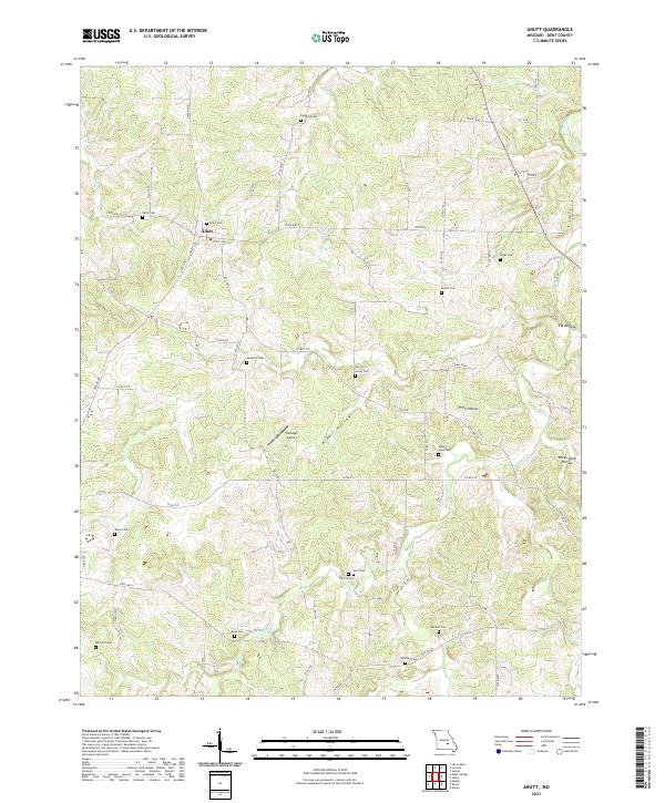
2021 Anutt
Dent County, MO
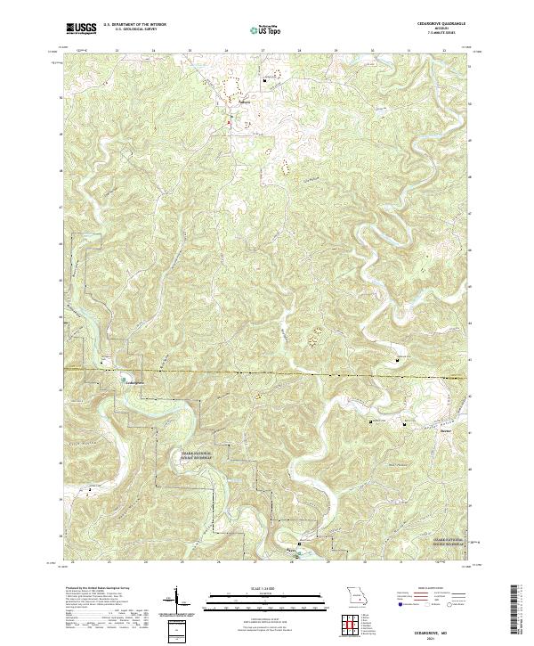
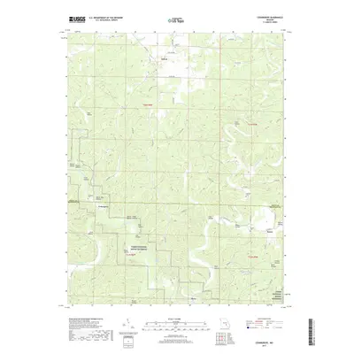
2021 Cedargrove
Dent County, MO
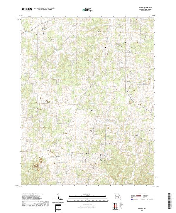
2021 Darien
Dent County, MO
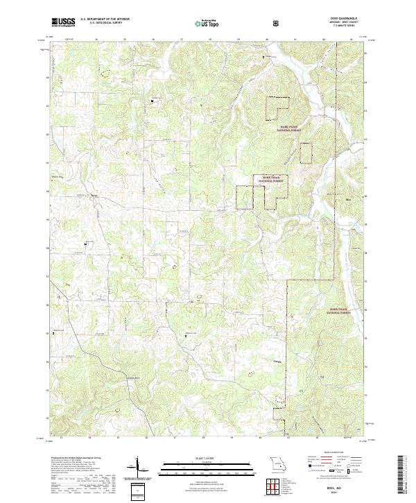
2021 Doss
Dent County, MO
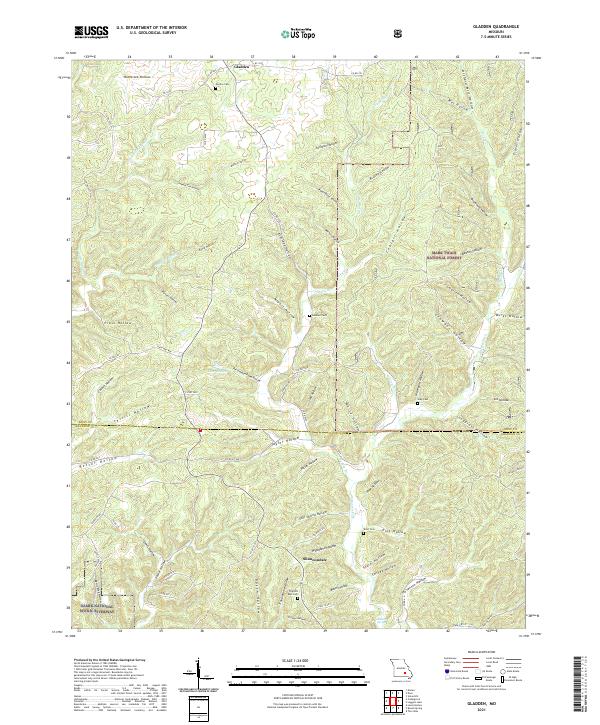
2021 Gladden
Dent County, MO
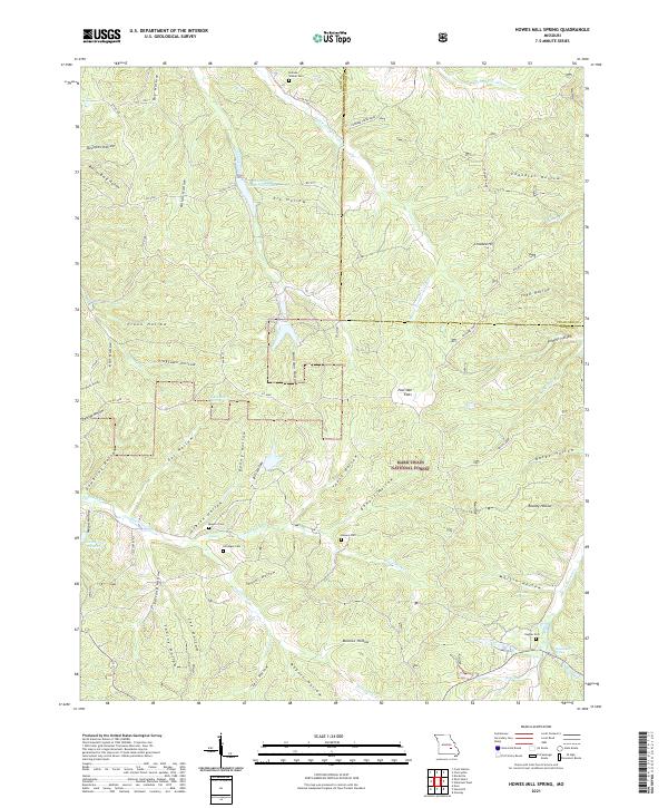
2021 Howes Mill Spring
Dent County, MO
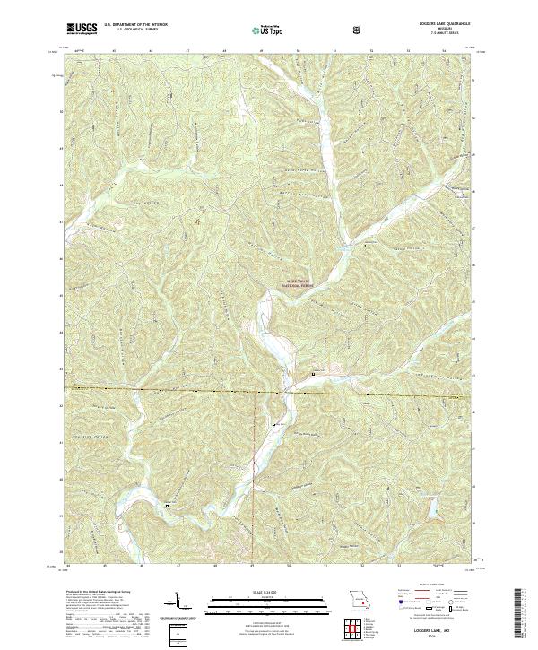
2021 Loggers Lake
Dent County, MO
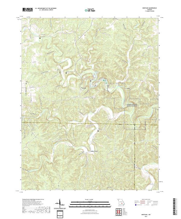
2021 Montauk
Dent County, MO
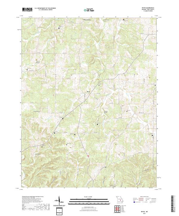
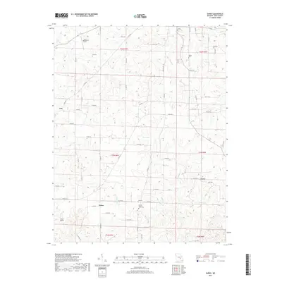
2021 Rhyse
Dent County, MO
2021 Short Bend
Dent County, MO
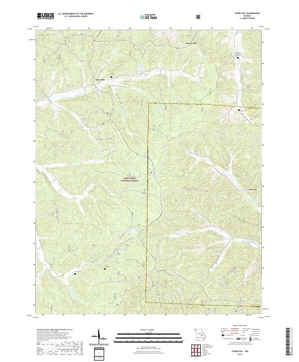
2021 Stone Hill
Dent County, MO
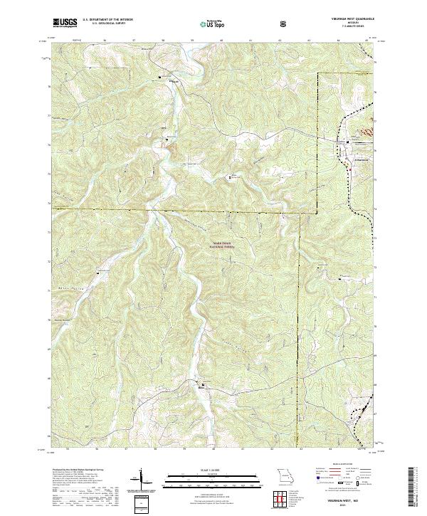
2021 Viburnum West
Dent County, MO