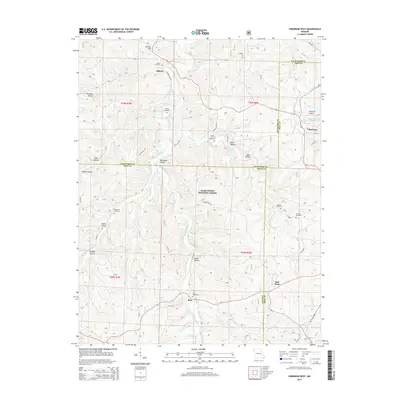
2015 Map of Viburnum West
USGS Topo · Published 2015About this map
Viburnum sits at the intersection of Iron, Crawford, and Dent counties, serving as a key hub in the lead-rich Ozark landscape. The terrain is defined by the winding course of Huzzah Creek and its many tributaries, including W Fork Huzzah Cr and E Fork Huzzah Cr, which have carved deep valleys like Chandler Hollow and Beefsteak Hollow. Much of the central and southern portions of the map fall within the Mark Twain National Forest, illustrating the heavily forested character of this region.
Find a feature on this map
56 named features on this map. Tap any name to fly to it.
Don’t see what you’re looking for? This feature index may not catch every label — zoom into the map to look around manually.
Map Details
Editions of this 2015 Viburnum West Map
This is the sole edition of this map. No revisions or reprints were ever made.
Other maps of this area

1932 · Steelville
USGS Topo · 1:48,000

1933 · Steelville
USGS Topo · 1:62,500

1937 · Steelville
USGS Topo · 1:62,500

1941 · Stone Hill
USGS Topo · 1:62,500

1943 · Berryman
USGS Topo · 1:62,500

1943 · Boss
USGS Topo · 1:62,500

1945 · Stone Hill
USGS Topo · 1:62,500

1945 · Berryman
USGS Topo · 1:62,500

1946 · Boss
USGS Topo · 1:62,500

1949 · Rolla
USGS Topo · 1:250,000