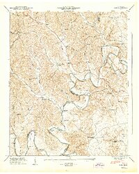
1947 Map of Lois
USGS Topo · Published 1948About this map
The winding Elk River defines the lower half of this landscape, carving deep bends and naming landmarks like Sullenger Bend, Stiles Bend, and Wakefield Bend. This post-war survey illustrates a rural corridor along the border of Moore, Franklin, and Lincoln counties, where settlement is concentrated around high ground and small stream valleys. Long ridges such as Possumtrot Ridge and Mt Vernon Ridge separate the various prongs of Farris Creek and Coffee Creek.
Find a feature on this map
86 named features on this map. Tap any name to fly to it.
Don’t see what you’re looking for? This feature index may not catch every label — zoom into the map to look around manually.
Map Details
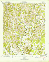
Editions of this 1947 Lois Map
2 editions found
Other maps of this area

1928 · Decherd
USGS Topo · 1:62,500

1936 · Booneville
USGS Topo · 1:24,000

1936 · Flintville
USGS Topo · 1:24,000

1936 · Cumberland Springs
USGS Topo · 1:24,000

1936 · Beans Creek
USGS Topo · 1:24,000

1936 · Huntland
USGS Topo · 1:24,000

1936 · Belvidere
USGS Topo · 1:24,000

1936 · Mulberry
USGS Topo · 1:24,000

1936 · Camp Peay
USGS Topo · 1:24,000

1936 · Lois
USGS Topo · 1:24,000