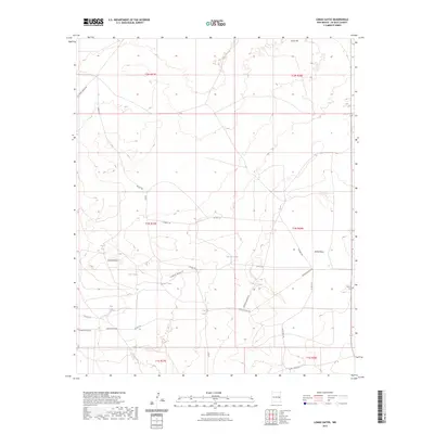
2023 Map of Lomas Gatos
USGS Topo · Published 2023About this map
Lomas Gatos defines this section of the De Baca County high plains, where the land is carved by the deep drainage of Cañon Blanco. The landscape is characterized by its essential water management features, including North Tank, Twin Tanks, and Hopper Tank, which serve as critical hubs in an otherwise arid ranching environment.
Find a feature on this map
30 named features on this map. Tap any name to fly to it.
Don’t see what you’re looking for? This feature index may not catch every label — zoom into the map to look around manually.
Map Details
Editions of this 2023 Lomas Gatos Map
This is the sole edition of this map. No revisions or reprints were ever made.
Other maps of this area

1954 · Fort Sumner
USGS Topo · 1:250,000

1954 · Clovis
USGS Topo · 1:250,000

1958 · Fort Sumner
USGS Topo · 1:250,000

1958 · Clovis
USGS Topo · 1:250,000

1967 · Eighteenmile Hill
USGS Topo · 1:24,000
1967 · Watts Hill
USGS Topo · 1:24,000

1968 · Lomas Gatos
USGS Topo · 1:24,000

1968 · Fort Sumner East
USGS Topo · 1:24,000

1968 · Taiban
USGS Topo · 1:24,000

1968 · Bonner Lake
USGS Topo · 1:24,000