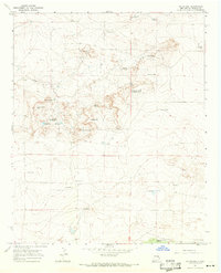
1967 Map of Watts Hill
USGS Topo · Published 1971About this map
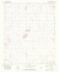
Canton School and Liberty School represent the dispersed rural infrastructure of De Baca County during the late 1960s. This arid landscape is defined by its dependency on scattered water sources, evidenced by the numerous named windmills like Shoemake Windmill and Jointer Windmill that dot the terrain between Cibolo Creek and the high ground of Table Mountain.
Find a feature on this map
32 named features on this map. Tap any name to fly to it.
Don’t see what you’re looking for? This feature index may not catch every label — zoom into the map to look around manually.
Map Details
Editions of this 1967 Watts Hill Map
2 editions found
Other maps of this area

1954 · Fort Sumner
USGS Topo · 1:250,000

1954 · Clovis
USGS Topo · 1:250,000

1958 · Fort Sumner
USGS Topo · 1:250,000

1958 · Clovis
USGS Topo · 1:250,000

1967 · Eighteenmile Hill
USGS Topo · 1:24,000
1967 · Howell Ranch
USGS Topo · 1:24,000
1967 · Cooley Lake
USGS Topo · 1:24,000

1968 · Lomas Gatos
USGS Topo · 1:24,000

1968 · Bonner Lake
USGS Topo · 1:24,000
1973 · Gammil Well
USGS Topo · 1:24,000