
1967 Map of Eighteenmile Hill
USGS Topo · Published 1971About this map
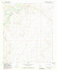
The Pecos River carves a dramatic oxbow at Eighteenmile Bend in this 1967 survey of De Baca County. This arid landscape is defined by the prominent Eighteenmile Hill and the long, descending Eighteenmile Draw, which cuts through the high plains toward the river valley. The topography reveals a land managed for ranching and resource extraction, marked by numerous fence lines and several Drill Holes scattered across the northern sections.
Find a feature on this map
13 named features on this map. Tap any name to fly to it.
Don’t see what you’re looking for? This feature index may not catch every label — zoom into the map to look around manually.
Map Details
Editions of this 1967 Eighteenmile Hill Map
2 editions found
Other maps of this area

1954 · Fort Sumner
USGS Topo · 1:250,000

1958 · Fort Sumner
USGS Topo · 1:250,000

1966 · Alamo Ranch
USGS Topo · 1:24,000
1967 · La Espia Peak
USGS Topo · 1:24,000
1967 · Conejo Creek East
USGS Topo · 1:24,000
1967 · Howell Ranch
USGS Topo · 1:24,000
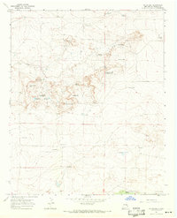
1967 · Watts Hill
USGS Topo · 1:24,000
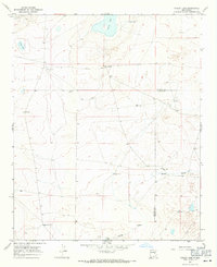
1967 · Cooley Lake
USGS Topo · 1:24,000

1968 · Lomas Gatos
USGS Topo · 1:24,000

1968 · Bonner Lake
USGS Topo · 1:24,000