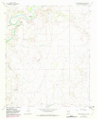
1967 Map of Eighteenmile Hill
USGS Topo · Published 1982About this map
The Pecos River carves a dramatic path through the northwest corner of this De Baca County quadrangle, forming the wide Eighteenmile Bend. This landscape is defined by the high ground of Eighteenmile Hill and Urton Bronco Hill, which separate several intermittent drainage systems including Eighteenmile Draw and Yeso Creek. At the time of this 1967 field check, a Gaging Sta was positioned along the riverbank to monitor the erratic flow of the Pecos in this arid environment.
Find a feature on this map
12 named features on this map. Tap any name to fly to it.
Don’t see what you’re looking for? This feature index may not catch every label — zoom into the map to look around manually.
Map Details
Editions of this 1967 Eighteenmile Hill Map
2 editions found
Other maps of this area

1954 · Fort Sumner
USGS Topo · 1:250,000

1958 · Fort Sumner
USGS Topo · 1:250,000

1966 · Alamo Ranch
USGS Topo · 1:24,000

1967 · Eighteenmile Hill
USGS Topo · 1:24,000
1967 · La Espia Peak
USGS Topo · 1:24,000
1967 · Conejo Creek East
USGS Topo · 1:24,000
1967 · Howell Ranch
USGS Topo · 1:24,000
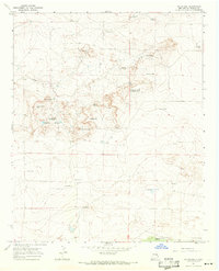
1967 · Watts Hill
USGS Topo · 1:24,000
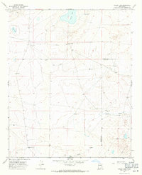
1967 · Cooley Lake
USGS Topo · 1:24,000

1968 · Lomas Gatos
USGS Topo · 1:24,000