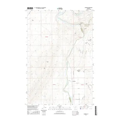
2017 Map of Lombard
USGS Topo · Published 2017About this map
The Missouri River carves a deep path through this Montana landscape, marking the boundary between Broadwater and Gallatin Counties. The settlement of Lombard sits at a narrow point where Sixteenmile Cr flows out of the dramatic Sixteenmile Canyon, historically a critical junction for railroad engineering. Nearby, the Milwaukee Bridge spans the river, a reminder of the transcontinental rail infrastructure that once defined these corridors.
Find a feature on this map
43 named features on this map. Tap any name to fly to it.
Don’t see what you’re looking for? This feature index may not catch every label — zoom into the map to look around manually.
Map Details
Editions of this 2017 Lombard Map
This is the sole edition of this map. No revisions or reprints were ever made.
Other maps of this area

1886 · Fort Logan
USGS Topo · 1:250,000

1888 · Three Forks
USGS Topo · 1:250,000

1894 · Three Forks
USGS Topo · 1:250,000

1895 · Three Forks
USGS Topo · 1:250,000

1947 · Bozeman
USGS Topo · 1:250,000

1948 · Bozeman
USGS Topo · 1:250,000

1948 · White Sulphur Springs
USGS Topo · 1:250,000

1949 · Radersburg
USGS Topo · 1:62,500

1949 · Manhattan
USGS Topo · 1:62,500

1949 · Toston
USGS Topo · 1:62,500