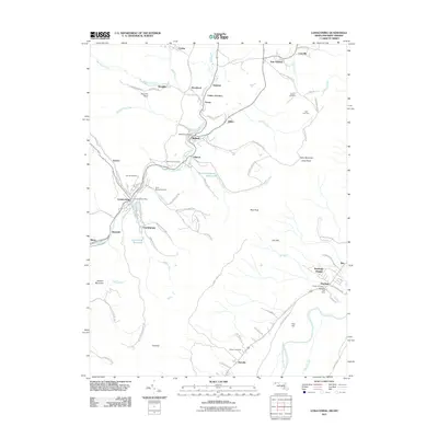
2011 Map of Lonaconing
USGS Topo · Published 2011About this map
Georges Creek carves through the heart of this Allegany County region, serving as the geographic anchor for a string of industrial-era settlements including Lonaconing, Midland, and Gilmore. The settlement pattern here is dictated by the narrow valley, where residential clusters like Charlestown and Detmold sit tightly between the water and the rising slopes of Jackson Mountain. Significant for family historians, the landscape is dotted with ancestral burial grounds such as Saint Marys Cemetery and the Old Coney Cemetery, alongside smaller family plots like Neff Cemetery and Warner Cemetery.
Find a feature on this map
92 named features on this map. Tap any name to fly to it.
Don’t see what you’re looking for? This feature index may not catch every label — zoom into the map to look around manually.
Map Details
Editions of this 2011 Lonaconing Map
This is the sole edition of this map. No revisions or reprints were ever made.
Other maps of this area

1891 · Romney
USGS Topo · 1:125,000

1895 · Piedmont
USGS Topo · 1:125,000

1898 · Frostburg
USGS Topo · 1:62,500

1899 · Grantsville
USGS Topo · 1:62,500

1901 · Frostburg
USGS Topo · 1:62,500

1904 · Grantsville
USGS Topo · 1:62,500

1908 · Frostburg
USGS Topo · 1:62,500

1919 · Elk Garden
USGS Topo · 1:48,000

1920 · Elk Garden
USGS Topo · 1:48,000

1920 · Keyser
USGS Topo · 1:62,500