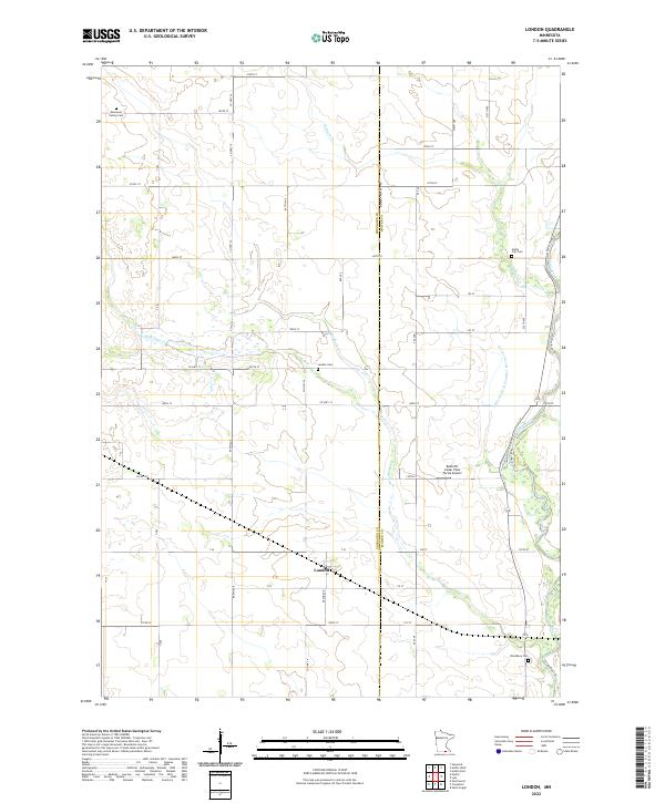
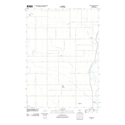
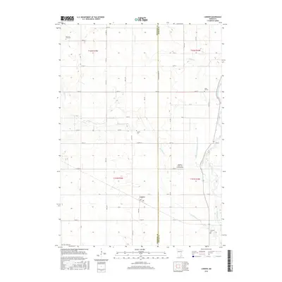
2022 Map of London
USGS Topo · Published 2022About this map
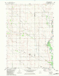
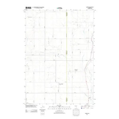
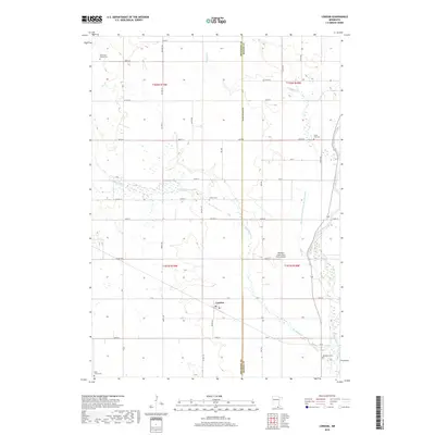
London sits at the heart of this Southern Minnesota agricultural landscape, situated along the border of Freeborn and Mower Counties. The settlement pattern is defined by a dense network of sectional roads and the winding course of the Cedar River, which flows through the eastern portion of the quadrangle. Local heritage is preserved in several small burial grounds, including the Kennevan Family Cem and the London Cem north of the village. The drainage of the prairie for cultivation is evident through features like Judicial Ditch Number Seventyseven and Mud Lake Cr. Notable modern landmarks such as Radloff's Cedar View Farms Airport and the Cedar River Trl show the evolution of the land from purely agrarian use to specialized aviation and recreational purposes.
Find a feature on this map
52 named features on this map. Tap any name to fly to it.
Don’t see what you’re looking for? This feature index may not catch every label — zoom into the map to look around manually.
Map Details
Editions of this 2022 London Map
This is the sole edition of this map. No revisions or reprints were ever made.
Historical Maps of London Through Time
24 maps found
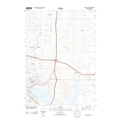
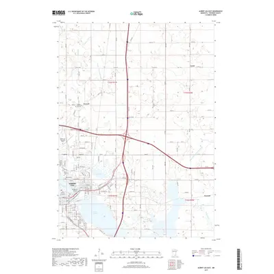
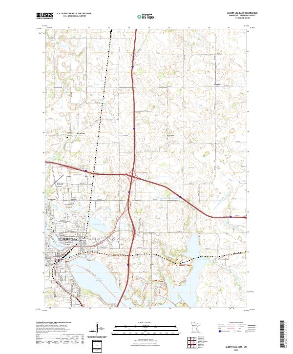
1982 Albert Lea East
Freeborn County, MN
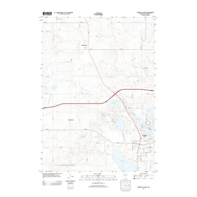
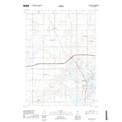
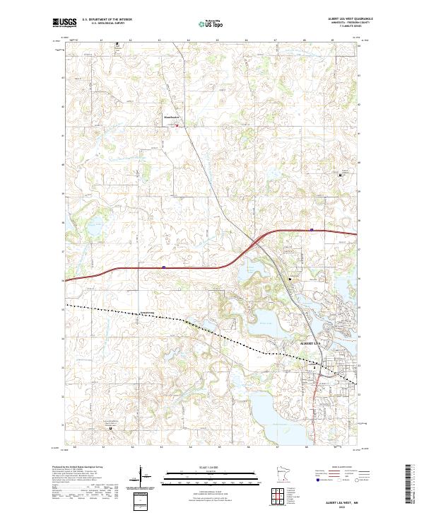
1982 Albert Lea West
Freeborn County, MN
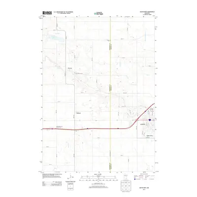
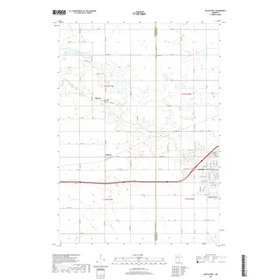
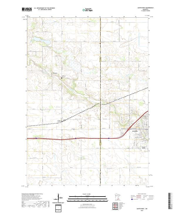
1982 Austin West
Freeborn County, MN
1982 London
Freeborn County, MN
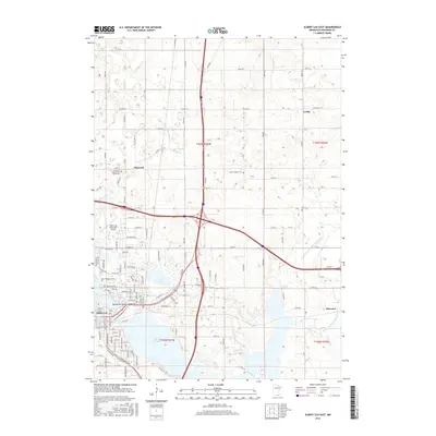
2010 Albert Lea East
Freeborn County, MN
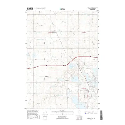
2010 Albert Lea West
Freeborn County, MN
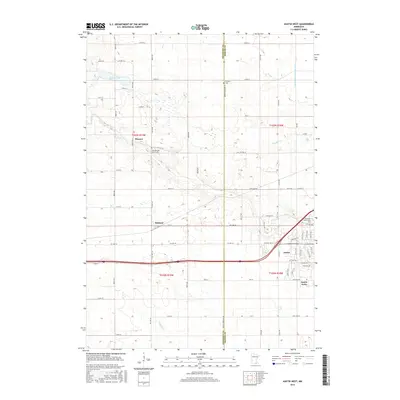
2010 Austin West
Freeborn County, MN
2010 London
Freeborn County, MN
2013 Albert Lea East
Freeborn County, MN
2013 Albert Lea West
Freeborn County, MN
2013 Austin West
Freeborn County, MN
2013 London
Freeborn County, MN
2016 Albert Lea East
Freeborn County, MN
2016 Albert Lea West
Freeborn County, MN
2016 Austin West
Freeborn County, MN
2016 London
Freeborn County, MN
2019 Albert Lea East
Freeborn County, MN
2019 Albert Lea West
Freeborn County, MN
2019 Austin West
Freeborn County, MN
2019 London
Freeborn County, MN
2022 Albert Lea East
Freeborn County, MN
2022 Albert Lea West
Freeborn County, MN
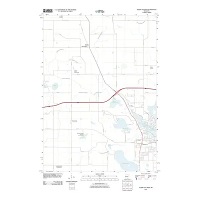
2022 Austin West
Freeborn County, MN
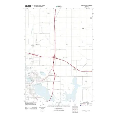
2022 London
Freeborn County, MN