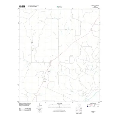
2010 Map of London
USGS Topo · Published 2010About this map
London sits at the heart of this central Texas landscape, positioned where the terrain transitions toward the Llano River in the south. The area is defined by a dense network of watercourses, including the meandering Big Saline Creek and Little Saline Creek, which converge as they drain the surrounding highlands. Notable topographic features like Reichenau Gap and Frog Springs Draw reflect the eroded character of the Edwards Plateau. Local roads such as Saline Rd and Fritz Rd connect the small settlement of Saline with the larger community of London. For those tracing family history, the London Cemetery provides a focal point for genealogical research, situated just north of where the main road crosses the creek. The presence of Salty Creek and Pecan Creek further illustrates the hydrological importance of this region to the local ranching and agricultural economy.
Find a feature on this map
15 named features on this map. Tap any name to fly to it.
Don’t see what you’re looking for? This feature index may not catch every label — zoom into the map to look around manually.
Map Details
Editions of this 2010 London Map
This is the sole edition of this map. No revisions or reprints were ever made.
Other maps of this area

1887 · Mason
USGS Topo · 1:125,000

1894 · Mason
USGS Topo · 1:125,000

1954 · Llano
USGS Topo · 1:250,000

1955 · Llano
USGS Topo · 1:250,000

1956 · Llano
USGS Topo · 1:250,000

1968 · Monument Mountain
USGS Topo · 1:24,000

1968 · Sheep Run Creek
USGS Topo · 1:24,000

1968 · London
USGS Topo · 1:24,000

1968 · Yates
USGS Topo · 1:24,000

1970 · Brewer Hollow
USGS Topo · 1:24,000