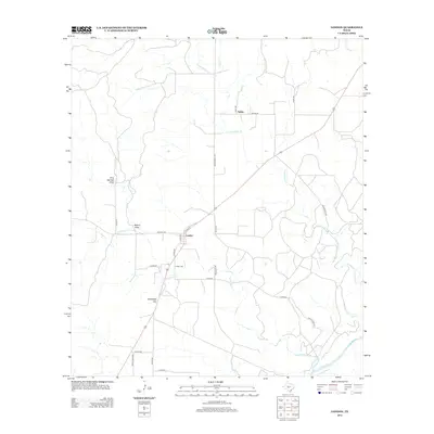
2012 Map of London
USGS Topo · Published 2012About this map
London serves as the primary settlement on this Texas landscape, situated at the intersection of several local routes such as Whiskey Rd, Llano St, and Leon St. The topography is defined by significant drainage systems including Big Saline Cr and Little Saline Cr, which flow toward the southern edge of the quadrangle where they meet the Llano River. Further north, the smaller community of Saline is positioned near Pecan Cr, illustrating the typical Texas Hill Country pattern of rural hubs established along watercourses and livestock-hauling routes.
Find a feature on this map
30 named features on this map. Tap any name to fly to it.
Don’t see what you’re looking for? This feature index may not catch every label — zoom into the map to look around manually.
Map Details
Editions of this 2012 London Map
This is the sole edition of this map. No revisions or reprints were ever made.
Other maps of this area

1887 · Mason
USGS Topo · 1:125,000

1894 · Mason
USGS Topo · 1:125,000

1954 · Llano
USGS Topo · 1:250,000

1955 · Llano
USGS Topo · 1:250,000

1956 · Llano
USGS Topo · 1:250,000

1968 · Monument Mountain
USGS Topo · 1:24,000

1968 · Sheep Run Creek
USGS Topo · 1:24,000

1968 · London
USGS Topo · 1:24,000

1968 · Yates
USGS Topo · 1:24,000

1970 · Brewer Hollow
USGS Topo · 1:24,000