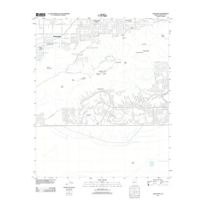
2011 Map of Lone Butte
USGS Topo · Published 2011About this map
The South Mountains dominate this southern extension of Phoenix, where rugged ridges and desert basins separate urban development from military and recreational sites. High points such as Mount Suappoa and the Ma Ha Tuak Range define the skyline, while the Chinese Wall and Wonder Rift mark distinctive geological formations within Phoenix S Mountain Park. The map documents a diverse mix of land uses, from the residential clusters of La Montana del Sur to specialized facilities like the Phoenix Police Academy and the Phoenix Proving Grounds.
Find a feature on this map
80 named features on this map. Tap any name to fly to it.
Don’t see what you’re looking for? This feature index may not catch every label — zoom into the map to look around manually.
Map Details
Editions of this 2011 Lone Butte Map
This is the sole edition of this map. No revisions or reprints were ever made.
Other maps of this area
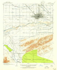
1912 · Phoenix
USGS Topo · 1:62,500
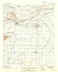
1913 · Mesa
USGS Topo · 1:62,500
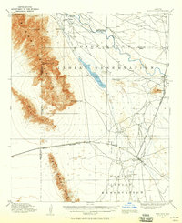
1913 · Maricopa
USGS Topo · 1:62,500
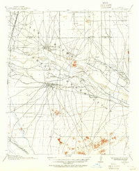
1914 · Gila Butte
USGS Topo · 1:62,500
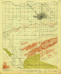
1914 · Phoenix
USGS Topo · 1:62,500
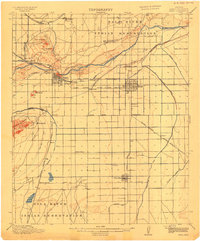
1915 · Mesa
USGS Topo · 1:62,500
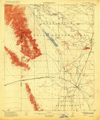
1915 · Maricopa
USGS Topo · 1:62,500
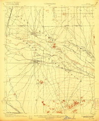
1917 · Gila Butte
USGS Topo · 1:62,500
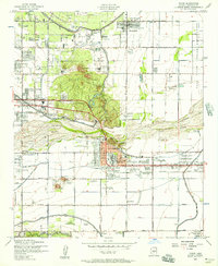
1952 · Tempe
USGS Topo · 1:24,000
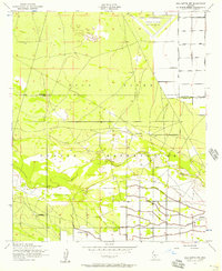
1952 · Gila Butte NW
USGS Topo · 1:24,000