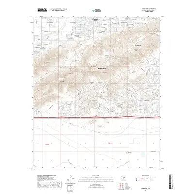
2021 Map of Lone Butte
USGS Topo · Published 2021About this map
The southern limits of Phoenix are defined by the prominent peaks of the South Mountains in this 2021 survey. This landscape is a complex intersection of desert ridges and modern expansion, where the Ma Ha Tuak Range and Guadalupe Range dominate the central terrain. Historic water management infrastructure like the Western Canal and Highline Canal skirt the northern slopes, highlighting the engineering required to support desert habitation. To the south, the settlement of Lone Butte marks the transition into flatter lands near the Gila Range. The map reveals a dense network of recreational paths such as the National Trl and Desert Classic Trl, which navigate notable geological landmarks like Wonder Rift and the Chinese Wall. The presence of the Hangar Haciendas Airport further illustrates the varied land use on the city's periphery.
Find a feature on this map
185 named features on this map. Tap any name to fly to it.
Don’t see what you’re looking for? This feature index may not catch every label — zoom into the map to look around manually.
Map Details
Editions of this 2021 Lone Butte Map
This is the sole edition of this map. No revisions or reprints were ever made.
Other maps of this area
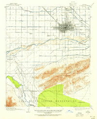
1912 · Phoenix
USGS Topo · 1:62,500
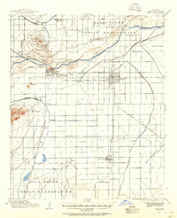
1913 · Mesa
USGS Topo · 1:62,500
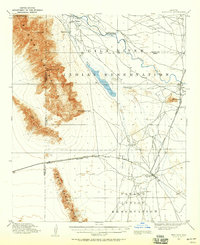
1913 · Maricopa
USGS Topo · 1:62,500
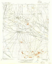
1914 · Gila Butte
USGS Topo · 1:62,500
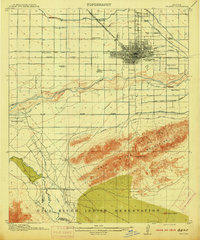
1914 · Phoenix
USGS Topo · 1:62,500
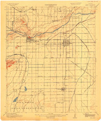
1915 · Mesa
USGS Topo · 1:62,500
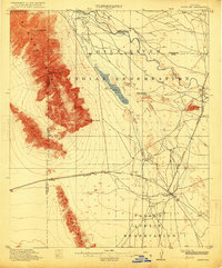
1915 · Maricopa
USGS Topo · 1:62,500
1917 · Gila Butte
USGS Topo · 1:62,500
1952 · Tempe
USGS Topo · 1:24,000
1952 · Gila Butte NW
USGS Topo · 1:24,000