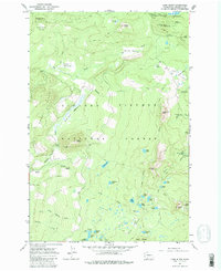
1965 Map of Lone Butte
USGS Topo · Published 1980About this map
Gifford Pinchot National Forest dominates this mid-1960s landscape, revealing a dense network of alpine lakes and volcanic topography. The map illustrates a transitional period of forest management where recreation and industrial utility intersect, evidenced by the proximity of the Lone Butte Quarry and Gravel Pit to numerous established recreation sites. High-elevation landmarks like Sawtooth Mtn and Bird Mountain rise above a complex hydrology of small water bodies, including Chenamus Lake, Cultus Lake, and the clustered Surprise Lakes. Extensive pathfinding systems such as the Cascade Crest Trail and the Cascade Heaven Trail suggest a landscape primarily accessed by foot or pack animal, while primitive roads reach into the Lone Butte area. This survey provides a precise look at the backcountry infrastructure of the southern Cascades before modern expansion altered these remote corridors.
Find a feature on this map
58 named features on this map. Tap any name to fly to it.
Don’t see what you’re looking for? This feature index may not catch every label — zoom into the map to look around manually.
Map Details
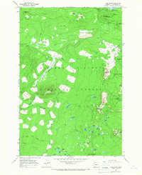
Editions of this 1965 Lone Butte Map
2 editions found
Other maps of this area

1926 · Steamboat Mtn
USGS Topo · 1:125,000

1926 · Hood River
USGS Topo · 1:125,000

1929 · Hood River
USGS Topo · 1:125,000

1931 · Steamboat Mtn
USGS Topo · 1:125,000

1950 · Yakima
USGS Topo · 1:250,000

1953 · The Dalles
USGS Topo · 1:250,000

1956 · The Dalles
USGS Topo · 1:250,000

1957 · The Dalles
USGS Topo · 1:250,000

1957 · Wind River
USGS Topo · 1:62,500

1957 · Willard
USGS Topo · 1:62,500