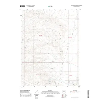
2017 Map of Lone Haystack Mountain
USGS Topo · Published 2017About this map
The North Platte River winds through the southern reaches of this Carbon County landscape, passing the distinctive formation at Cedar Ridge and the river access point at Lower Dugway. The terrain is defined by a series of named drainages that suggest the history of local travel and livestock, including Wild Horse Draw, Dirtyman Draw, and Wise Dugout Draw. These features converge toward the prominent elevations of Lone Haystack Mtn and the broader Haystack Mountains to the west.
Find a feature on this map
16 named features on this map. Tap any name to fly to it.
Don’t see what you’re looking for? This feature index may not catch every label — zoom into the map to look around manually.
Map Details
Editions of this 2017 Lone Haystack Mountain Map
This is the sole edition of this map. No revisions or reprints were ever made.
Other maps of this area

1893 · Fort Steele
USGS Topo · 1:125,000

1914 · Walcott
USGS Topo · 1:62,500

1953 · Wild Horse Mountain
USGS Topo · 1:24,000

1953 · Sinclair
USGS Topo · 1:24,000

1953 · Seminoe Dam SW
USGS Topo · 1:24,000

1953 · Riddle Cut
USGS Topo · 1:24,000

1953 · Rawlins
USGS Topo · 1:24,000

1953 · Lone Haystack Mountain
USGS Topo · 1:24,000

1953 · Rawlins NW
USGS Topo · 1:24,000

1954 · Rawlins
USGS Topo · 1:250,000