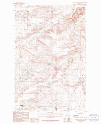
1985 Map of Lone Man Coulee East
USGS Topo · Published 1986About this map
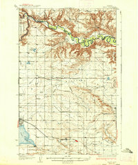
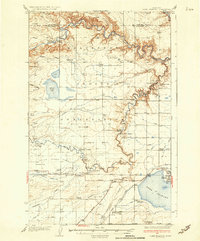
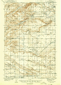
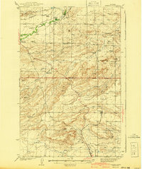
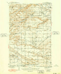
Marias River and its major tributaries carve through the Montana high plains at the intersection of the Pondera and Teton County lines. This 1985 survey captures a landscape defined by sharp elevation shifts between the high Benton Bench and the deep incisions of Lone Man Coulee. The terrain is characterized by the erosive forces that created prominent landmarks like Castle Rock, while the more recent human presence is marked by infrastructure developments. Modern resource extraction and agriculture are evident through the numerous Gravel Pits, Storage Bins, and a Pipeline network connecting to a Pumping Station. The hydrological complexity of the region is further illustrated by the confluence of the Dry Fork Marias River and Spring Creek, showing how water management and natural drainages dictate the local land use patterns during the mid-1980s.
Find a feature on this map
17 named features on this map. Tap any name to fly to it.
Don’t see what you’re looking for? This feature index may not catch every label — zoom into the map to look around manually.
Map Details
Editions of this 1985 Lone Man Coulee East Map
This is the sole edition of this map. No revisions or reprints were ever made.
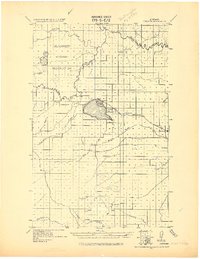
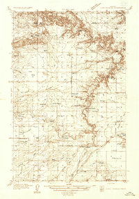
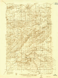
Other maps of this area
1920 · Dupuyer
USGS Topo · 1:125,000
1934 · Lake Frances
USGS Topo · 1:48,000

1934 · Valier
USGS Topo · 1:62,500
1936 · Pendroy
USGS Topo · 1:48,000
1937 · Valier
USGS Topo · 1:62,500
1937 · Lake Frances
USGS Topo · 1:62,500
1938 · Gallup City
USGS Topo · 1:62,500
1941 · Pendroy
USGS Topo · 1:62,500
1942 · Gallup City
USGS Topo · 1:62,500

1960 · Cut Bank
USGS Topo · 1:250,000