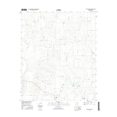
2016 Map of Lone Oak North
USGS Topo · Published 2016About this map
The northern reaches of Lone Oak anchor this rural Hunt County landscape, where the town's grid meets a complex network of creeks and small aviation strips. The terrain is defined by the convergence of several significant water bodies, including Lake Fork Cr and Wolf Pen Cr, which drain into the surrounding lowlands. This survey provides essential documentation for genealogists, as it identifies several family and community burial grounds such as Sullivan Cem, Hall Cem, and the Williams Chapel Cem. The transport pattern is largely rural, characterized by numbered county roads that follow the drainage patterns of Caney Cr and Cowmiech Cr. Local infrastructure is marked by small-scale landing sites like Glenmar Airport and Weedfalls Airport, which suggest the area's ongoing reliance on private aviation within this primarily agricultural and residential stretch of Northeast Texas.
Find a feature on this map
79 named features on this map. Tap any name to fly to it.
Don’t see what you’re looking for? This feature index may not catch every label — zoom into the map to look around manually.
Map Details
Editions of this 2016 Lone Oak North Map
This is the sole edition of this map. No revisions or reprints were ever made.
Other maps of this area

1953 · Texarkana
USGS Topo · 1:250,000

1954 · Dallas
USGS Topo · 1:250,000

1954 · Sherman
USGS Topo · 1:250,000

1956 · Texarkana
USGS Topo · 1:250,000

1956 · Tyler
USGS Topo · 1:250,000

1956 · Quinlan
USGS Topo · 1:62,500

1956 · Emory
USGS Topo · 1:62,500

1958 · Dallas
USGS Topo · 1:250,000

1958 · Sherman
USGS Topo · 1:250,000

1962 · Greenville SE
USGS Topo · 1:24,000