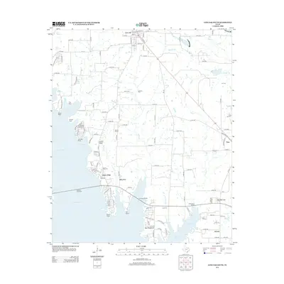
2012 Map of Lone Oak South
USGS Topo · Published 2012About this map
Lake Tawakoni dominates the western landscape of this Northeast Texas region, shaping the development of lakeside communities like East Tawakoni and Hooker Ridge. The area maintains a rural character with a network of country roads connecting historic family-named burial grounds, including McMahan Cem, Clark Cem, and Lynch Cem. Near the northern boundary, the settlement of Lone Oak is defined by a grid of streets such as Main St and Oil Mill St, reflecting its established residential and commercial core.
Find a feature on this map
135 named features on this map. Tap any name to fly to it.
Don’t see what you’re looking for? This feature index may not catch every label — zoom into the map to look around manually.
Map Details
Editions of this 2012 Lone Oak South Map
This is the sole edition of this map. No revisions or reprints were ever made.
Other maps of this area

1953 · Texarkana
USGS Topo · 1:250,000

1954 · Dallas
USGS Topo · 1:250,000

1954 · Sherman
USGS Topo · 1:250,000

1956 · Texarkana
USGS Topo · 1:250,000

1956 · Tyler
USGS Topo · 1:250,000

1956 · Quinlan
USGS Topo · 1:62,500

1956 · Emory
USGS Topo · 1:62,500

1958 · Dallas
USGS Topo · 1:250,000

1958 · Sherman
USGS Topo · 1:250,000

1962 · Greenville SE
USGS Topo · 1:24,000