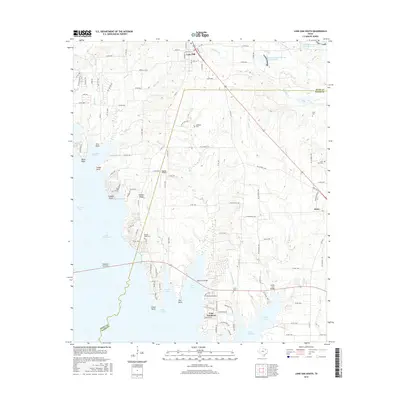
2016 Map of Lone Oak South
USGS Topo · Published 2016About this map
Lake Tawakoni dominates the western half of this 2016 survey, its intricate shoreline defining the transition between Hunt and Rains counties. The map illustrates the developed residential patterns of East Tawakoni and the older, established center of Lone Oak to the north. A variety of named points and coves, such as Thunder Point, Sycamore Cove, and Wichita Bay, indicate the area's importance for recreation and lakeside living.
Find a feature on this map
125 named features on this map. Tap any name to fly to it.
Don’t see what you’re looking for? This feature index may not catch every label — zoom into the map to look around manually.
Map Details
Editions of this 2016 Lone Oak South Map
This is the sole edition of this map. No revisions or reprints were ever made.
Other maps of this area

1953 · Texarkana
USGS Topo · 1:250,000

1954 · Dallas
USGS Topo · 1:250,000

1954 · Sherman
USGS Topo · 1:250,000

1956 · Texarkana
USGS Topo · 1:250,000

1956 · Tyler
USGS Topo · 1:250,000

1956 · Quinlan
USGS Topo · 1:62,500

1956 · Emory
USGS Topo · 1:62,500

1958 · Dallas
USGS Topo · 1:250,000

1958 · Sherman
USGS Topo · 1:250,000

1962 · Greenville SE
USGS Topo · 1:24,000