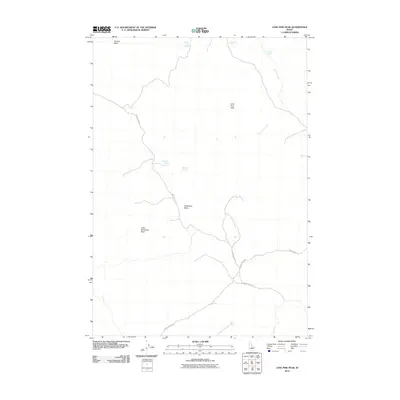
2010 Map of Lone Pine Peak
USGS Topo · Published 2010About this map
Lone Pine Peak serves as the central landmark for this high-elevation Idaho terrain, defined by a network of seasonal water sources and expansive catchment areas. The landscape is characterized by isolated basins such as Germer Basin in the north and the connected expanse of Bradshaw Basin and Little Bradshaw Basin further south. These topographic depressions are critical for grazing and water management, as evidenced by the distribution of named water points including Jenson Cabin Spring, Lone Pine Spring, and Bradshaw Spring.
Find a feature on this map
15 named features on this map. Tap any name to fly to it.
Don’t see what you’re looking for? This feature index may not catch every label — zoom into the map to look around manually.
Map Details
Editions of this 2010 Lone Pine Peak Map
This is the sole edition of this map. No revisions or reprints were ever made.
Other maps of this area

1929 · Bayhorse
USGS Topo · 1:125,000

1957 · Challis
USGS Topo · 1:250,000

1960 · Challis
USGS Topo · 1:250,000

1963 · Challis
USGS Topo · 1:250,000

1963 · Bald Mountain
USGS Topo · 1:24,000

1963 · Bayhorse
USGS Topo · 1:24,000
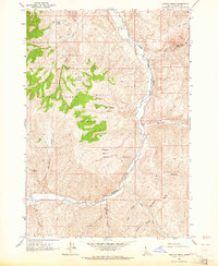
1963 · Ziegler Basin
USGS Topo · 1:24,000
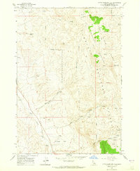
1963 · Little Antelope Flat
USGS Topo · 1:24,000

1963 · Clayton
USGS Topo · 1:62,500

1963 · Lone Pine Peak
USGS Topo · 1:62,500