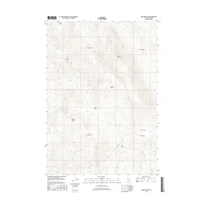
2017 Map of Lone Pine Peak
USGS Topo · Published 2017About this map
Lone Pine Peak stands as the central landmark in this high-altitude Custer County landscape, where water sources often bear the names of early settlers and ranching history. The distribution of features like Jenson Cabin Spring, Malm Spring, and Sorrel Spring suggests a reliance on scattered groundwater for livestock or homesteading in an otherwise arid environment. The map details a complex system of drainage basins and gulches, including Germer Basin, Bradshaw Basin, and the narrow Malm Gulch. Connectivity through this terrain is primarily facilitated by Spar Canyon Rd, which cuts through the southeastern portion near Spar Canyon. The presence of small water bodies like Red Lake and numerous named springs illustrates the vital, localized geography that defined land use in this part of Idaho during the early twenty-first century.
Find a feature on this map
25 named features on this map. Tap any name to fly to it.
Don’t see what you’re looking for? This feature index may not catch every label — zoom into the map to look around manually.
Map Details
Editions of this 2017 Lone Pine Peak Map
This is the sole edition of this map. No revisions or reprints were ever made.
Other maps of this area

1929 · Bayhorse
USGS Topo · 1:125,000

1957 · Challis
USGS Topo · 1:250,000

1960 · Challis
USGS Topo · 1:250,000

1963 · Challis
USGS Topo · 1:250,000

1963 · Bald Mountain
USGS Topo · 1:24,000

1963 · Bayhorse
USGS Topo · 1:24,000
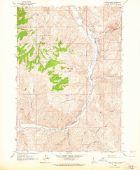
1963 · Ziegler Basin
USGS Topo · 1:24,000
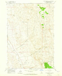
1963 · Little Antelope Flat
USGS Topo · 1:24,000

1963 · Clayton
USGS Topo · 1:62,500

1963 · Lone Pine Peak
USGS Topo · 1:62,500