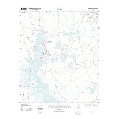
2013 Map of Lone Star
USGS Topo · Published 2013About this map
Lone Star and the nearby Hughes Springs dominate this Northeast Texas landscape, where the regional economy is closely tied to the industrial and natural resources of the Piney Woods. The presence of the Lone Star Steel Co Rd underscores the historical significance of iron and steel production in this corner of the state. Water management is a central theme, with the massive Lake O' the Pines and Ellison Creek Reservoir shaping the local geography.
Find a feature on this map
128 named features on this map. Tap any name to fly to it.
Don’t see what you’re looking for? This feature index may not catch every label — zoom into the map to look around manually.
Map Details
Editions of this 2013 Lone Star Map
This is the sole edition of this map. No revisions or reprints were ever made.
Other maps of this area

1914 · Daingerfield
USGS Topo · 1:62,500

1953 · Texarkana
USGS Topo · 1:250,000

1956 · Texarkana
USGS Topo · 1:250,000

1956 · Tyler
USGS Topo · 1:250,000

1960 · Coffeeville
USGS Topo · 1:24,000

1960 · La Fayette
USGS Topo · 1:24,000

1961 · Lassater
USGS Topo · 1:24,000

1962 · Avinger
USGS Topo · 1:24,000

1962 · Ore City
USGS Topo · 1:24,000

1962 · Lone Star
USGS Topo · 1:24,000