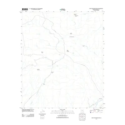
2011 Map of Lone Star Mountain
USGS Topo · Published 2011About this map
Lone Star Mountain and the deep drainage of Tidwell Wash anchor this portion of Graham County, revealing a high-desert landscape defined by ranching infrastructure and mineral access. The presence of Boggs Ranch and numerous water catchments like Rattlesnake Tank and Don Tank highlight the necessity of water management in the arid terrain. The mapping of San Juan Mine Rd and Solomon Pass Rd illustrates the historical transportation corridors used to traverse the difficult geography near Solomon Pass and Burro Saddle. Along the eastern edge, the confluence of drainage systems leading toward the Gila River is marked by deep cuts such as Sycamore Canyon and Black Canyon. The network of springs, including Cottonwood Spring and Red Tanks Spring, underscores the critical natural resources that supported early transit and land use in this rugged sector of Arizona.
Find a feature on this map
29 named features on this map. Tap any name to fly to it.
Don’t see what you’re looking for? This feature index may not catch every label — zoom into the map to look around manually.
Map Details
Editions of this 2011 Lone Star Mountain Map
This is the sole edition of this map. No revisions or reprints were ever made.
Other maps of this area

1902 · Clifton
USGS Topo · 1:62,500

1913 · Morenci
USGS Topo · 1:125,000

1915 · Morenci
USGS Topo · 1:125,000

1954 · Silver City
USGS Topo · 1:250,000

1954 · Clifton
USGS Topo · 1:250,000

1957 · Clifton
USGS Topo · 1:250,000

1958 · Silver City
USGS Topo · 1:250,000

1958 · Clifton
USGS Topo · 1:250,000

1960 · Guthrie
USGS Topo · 1:62,500

1960 · Safford
USGS Topo · 1:62,500