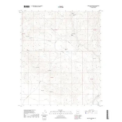
2018 Map of Lone Star Mountain
USGS Topo · Published 2018About this map
Lone Star Mtn rises as a prominent landmark in this desert landscape of the Gila Mountains northeast of Safford. The terrain is defined by a complex network of drainage systems and watering points essential for ranching and travel in this arid region. Numerous tanks, such as Salt Trap Tank, Mack Tank, and Rattlesnake Tank, are scattered throughout the draws to collect runoff. The presence of these improved water sources alongside natural features like Red Tanks Spring and Dry Canyon Spring underscores the long history of livestock management in Graham County.
Find a feature on this map
38 named features on this map. Tap any name to fly to it.
Don’t see what you’re looking for? This feature index may not catch every label — zoom into the map to look around manually.
Map Details
Editions of this 2018 Lone Star Mountain Map
This is the sole edition of this map. No revisions or reprints were ever made.
Other maps of this area

1902 · Clifton
USGS Topo · 1:62,500

1913 · Morenci
USGS Topo · 1:125,000

1915 · Morenci
USGS Topo · 1:125,000

1954 · Silver City
USGS Topo · 1:250,000

1954 · Clifton
USGS Topo · 1:250,000

1957 · Clifton
USGS Topo · 1:250,000

1958 · Silver City
USGS Topo · 1:250,000

1958 · Clifton
USGS Topo · 1:250,000

1960 · Guthrie
USGS Topo · 1:62,500

1960 · Safford
USGS Topo · 1:62,500