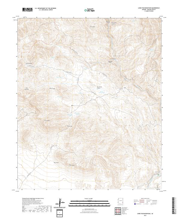
2021 Map of Lone Star Mountain
USGS Topo · Published 2021About this map
Lone Star Mtn and the Gila Mountains dominate this arid landscape in Graham County, where a complex network of canyons and high-desert passes has historically dictated movement. The presence of water sources like Dry Canyon Spring, Cottonwood Spring, and Red Tanks Spring highlights the vital importance of natural catchments in this high-relief terrain. Ranching and land management infrastructure is visible through numerous named catchments such as Salt Trap Tank and Rattlesnake Tank, indicating how this rugged environment was utilized for livestock in the late 20th and early 21st centuries.
Find a feature on this map
38 named features on this map. Tap any name to fly to it.
Don’t see what you’re looking for? This feature index may not catch every label — zoom into the map to look around manually.
Map Details
Editions of this 2021 Lone Star Mountain Map
This is the sole edition of this map. No revisions or reprints were ever made.
Other maps of this area

1902 · Clifton
USGS Topo · 1:62,500

1913 · Morenci
USGS Topo · 1:125,000

1915 · Morenci
USGS Topo · 1:125,000

1954 · Silver City
USGS Topo · 1:250,000

1954 · Clifton
USGS Topo · 1:250,000

1957 · Clifton
USGS Topo · 1:250,000

1958 · Silver City
USGS Topo · 1:250,000

1958 · Clifton
USGS Topo · 1:250,000

1960 · Guthrie
USGS Topo · 1:62,500

1960 · Safford
USGS Topo · 1:62,500