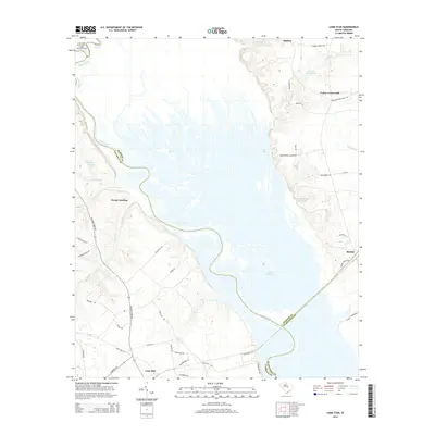
2014 Map of Lone Star
USGS Topo · Published 2014About this map
The Santee River and Wateree River converge in this low-lying region, feeding the upper reaches of Lake Marion. The landscape is defined by its complex hydrology, where Squirrel Creek, Warley Cr, and numerous ponds like Gadden Pond create a sprawling wetland environment. To the northwest, the Congaree National Park Wilderness protects these bottomland hardwood forests, while small rural settlements like Lone Star and Rimini occupy the higher ground surrounding the basin.
Find a feature on this map
51 named features on this map. Tap any name to fly to it.
Don’t see what you’re looking for? This feature index may not catch every label — zoom into the map to look around manually.
Map Details
Editions of this 2014 Lone Star Map
This is the sole edition of this map. No revisions or reprints were ever made.
Other maps of this area

1943 · Eastover
USGS Topo · 1:62,500

1946 · Elloree
USGS Topo · 1:62,500

1946 · Sumter
USGS Topo · 1:62,500

1953 · Poinsett State Park
USGS Topo · 1:24,000

1953 · Wateree
USGS Topo · 1:24,000

1954 · Augusta
USGS Topo · 1:250,000

1957 · Sumter
USGS Topo · 1:62,500

1957 · Augusta
USGS Topo · 1:250,000

1958 · Augusta
USGS Topo · 1:250,000

1961 · Augusta
USGS Topo · 1:250,000