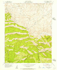
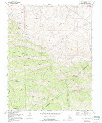
1955 Map of Lone Tree Creek
USGS Topo · Published 1956About this map
Buckeye Mines and Ladd Mine anchor the industrial geography of this mid-century survey, situated within a complex system of ridges and canyons at the intersection of San Joaquin, Alameda, and Stanislaus counties. The land is defined by prominent topographical features such as North Ridge, South Ridge, and Pegleg Ridge, where numerous seasonal springs and mineral sources emerge. The presence of the Hetch Hetchy Aqueduct in the northern reaches signals the vital role this landscape played in California's water infrastructure.
Find a feature on this map
32 named features on this map. Tap any name to fly to it.
Don’t see what you’re looking for? This feature index may not catch every label — zoom into the map to look around manually.
Map Details
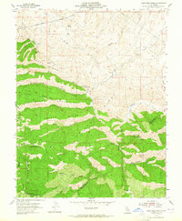
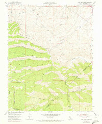
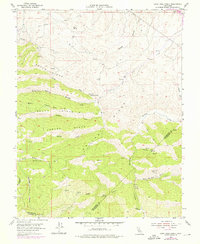
Editions of this 1955 Lone Tree Creek Map
5 editions found
Other maps of this area

1897 · Mt. Hamilton
USGS Topo · 1:62,500

1907 · Tesla
USGS Topo · 1:62,500

1913 · Romain
USGS Topo · 1:31,680

1915 · Vernalis
USGS Topo · 1:31,680

1916 · Tracy
USGS Topo · 1:31,680

1916 · Romain
USGS Topo · 1:31,680

1916 · Midway
USGS Topo · 1:31,680

1922 · Carbona
USGS Topo · 1:62,500

1938 · Mt. Boardman
USGS Topo · 1:62,500

1942 · Mt. Hamilton
USGS Topo · 1:62,500