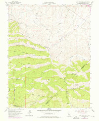
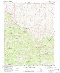
1955 Map of Lone Tree Creek
USGS Topo · Published 1976About this map
The ridge-and-canyon landscape of the Diablo Range comes into focus through this 1950s survey, updated with 1970s aerial data. The map tracks the vital water infrastructure of the Hetch Hetchy Aqueduct as it cuts across the northern edge of the quadrangle. High-elevation terrain is defined by dramatic features like North Ridge, Smiths Ridge, and Pegleg Ridge, revealing a history of mineral extraction and spring-fed hydrology. Mining history is prominent with the Ladd Mine and the Buckeye Mines tucked into the steep drainages. Natural water sources are scattered throughout the canyons, including Lone Tree Mineral Spring, Blue Rock Spring, and Sperry Springs, which often served as critical landmarks for early ranching and prospecting in these dry hills. The intersection of San Joaquin, Stanislaus, and Alameda counties underscores the area's role as a rugged borderland.
Find a feature on this map
34 named features on this map. Tap any name to fly to it.
Don’t see what you’re looking for? This feature index may not catch every label — zoom into the map to look around manually.
Map Details
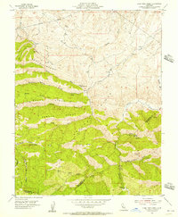
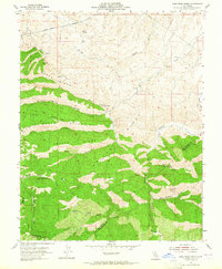
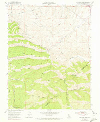
Editions of this 1955 Lone Tree Creek Map
5 editions found
Other maps of this area

1897 · Mt. Hamilton
USGS Topo · 1:62,500

1907 · Tesla
USGS Topo · 1:62,500

1913 · Romain
USGS Topo · 1:31,680

1915 · Vernalis
USGS Topo · 1:31,680

1916 · Tracy
USGS Topo · 1:31,680

1916 · Romain
USGS Topo · 1:31,680

1916 · Midway
USGS Topo · 1:31,680

1922 · Carbona
USGS Topo · 1:62,500

1938 · Mt. Boardman
USGS Topo · 1:62,500

1942 · Mt. Hamilton
USGS Topo · 1:62,500