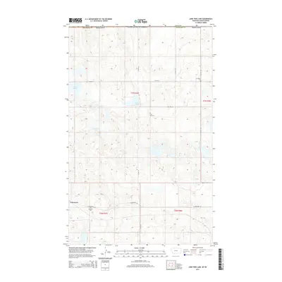
2014 Map of Lone Tree Lake
USGS Topo · Published 2014About this map
Comertown sits in the corner of northeastern Montana, just south of the Canadian border in Sheridan County. This prairie landscape is defined by the unique glaciated pothole topography of the Missouri Plateau, where numerous depressions form seasonal water bodies like Widgeon Slough, Larson Slough, and Lone Tree Lake. The settlement patterns here follow a strict grid of section lines, reflected in the straight paths of Ueland Rd and N Star Rd. For those researching local families and early pioneers of the High Line, the map highlights significant burial sites including Comertown Cem, Lone Tree Cem, and Our Saviors Cem. The presence of these widely spaced cemeteries and the small cluster at Comertown illustrates the sparse but persistent ranching and farming community that has long occupied this remote stretch of the Great Plains.
Find a feature on this map
20 named features on this map. Tap any name to fly to it.
Don’t see what you’re looking for? This feature index may not catch every label — zoom into the map to look around manually.
Map Details
Editions of this 2014 Lone Tree Lake Map
This is the sole edition of this map. No revisions or reprints were ever made.
Other maps of this area

1954 · Wolf Point
USGS Topo · 1:250,000

1958 · Wolf Point
USGS Topo · 1:250,000

1983 · Tadpole Lake
USGS Topo · 1:24,000

1983 · Dooley SE
USGS Topo · 1:24,000

1983 · Lone Tree Lake
USGS Topo · 1:24,000

1983 · Park Lake
USGS Topo · 1:24,000

1983 · Westby South
USGS Topo · 1:24,000

1983 · Westby North
USGS Topo · 1:24,000
2011 · Dooley SE
USGS Topo · 1:24,000
2011 · Lone Tree Lake
USGS Topo · 1:24,000