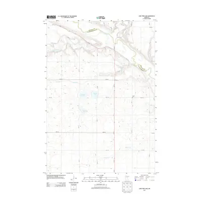
2013 Map of Lone Tree Lake
USGS Topo · Published 2013About this map
The Minnesota River carves a deep valley across the northern section of this landscape, forming a natural border between Renville Co and Yellow Medicine Co. This river corridor is joined by the Yellow Medicine River and Hawk Cr, creating a complex drainage system that contrasts with the glaciated plains to the south. Central to this prairie region is a cluster of water bodies including Lone Tree Lake, Highbank Lake, and Kvistid Lake, which likely served as vital landmarks for early settlers in this rural part of Minnesota.
Find a feature on this map
31 named features on this map. Tap any name to fly to it.
Don’t see what you’re looking for? This feature index may not catch every label — zoom into the map to look around manually.
Map Details
Editions of this 2013 Lone Tree Lake Map
This is the sole edition of this map. No revisions or reprints were ever made.
Other maps of this area

1953 · New Ulm
USGS Topo · 1:250,000

1957 · New Ulm
USGS Topo · 1:250,000

1958 · New Ulm
USGS Topo · 1:250,000

1962 · School Grove Lake
USGS Topo · 1:24,000

1962 · Wood Lake
USGS Topo · 1:24,000

1965 · Echo
USGS Topo · 1:24,000

1965 · Lone Tree Lake
USGS Topo · 1:24,000

1965 · Belview
USGS Topo · 1:24,000

1965 · Iverson Lake
USGS Topo · 1:24,000

1965 · Sacred Heart
USGS Topo · 1:24,000