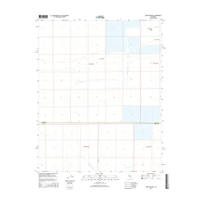
2015 Map of Lone Tree Well
USGS Topo · Published 2015About this map
The San Joaquin Valley landscape within the Central Valley is defined by a strictly managed water system and geometric land divisions near the boundary of Kings and Kern counties. Water management is the primary industrial footprint here, visible through the Homeland Canal, the Hacienda Spillway, and the intermittent Kern River Channel. The elevation is nearly level, broken only by the subtle rise of Sand Ridge and the engineered depressions of various evaporation basins and agricultural reservoirs. Evidence of local ranching and early resource infrastructure remains through landmarks like Lone Tree Well, while Lost Hills Rd provides the primary north-south passage through these large township sections.
Find a feature on this map
13 named features on this map. Tap any name to fly to it.
Don’t see what you’re looking for? This feature index may not catch every label — zoom into the map to look around manually.
Map Details
Editions of this 2015 Lone Tree Well Map
This is the sole edition of this map. No revisions or reprints were ever made.
Other maps of this area

1914 · Lost Hills
USGS Topo · 1:125,000

1929 · Hacienda Ranch
USGS Topo · 1:31,680

1929 · West Alpaugh
USGS Topo · 1:31,680

1930 · Miramonte Ranch
USGS Topo · 1:31,680

1931 · Harvester
USGS Topo · 1:31,680

1932 · Dudley Ridge
USGS Topo · 1:31,680

1932 · Antelope Plain
USGS Topo · 1:31,680

1932 · Reynolds Ranch
USGS Topo · 1:31,680

1932 · West Camp
USGS Topo · 1:31,680

1932 · Lone Tree Well
USGS Topo · 1:31,680