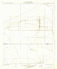
1936 Map of Lone Tree Well
USGS Topo · Published 1936About this map
Lone Tree Well sits at the heart of this agricultural and drainage-focused landscape in the southern San Joaquin Valley. Surveyed in the early 1930s under State Engineer Edward Hyatt and Governor Frank F. Merriam, the map documents a terrain defined by the management of water and the division of political boundaries. The northern section is dominated by the Homeland Canal, while a straight east-west line marks the Kings Co Kern Co border. This survey captures the region just as large-scale irrigation infrastructure was becoming the primary driver of the local economy, showing the transition from open range toward the structured canal and section-line systems that would come to characterize this portion of California's interior basin.
Find a feature on this map
3 named features on this map. Tap any name to fly to it.
Don’t see what you’re looking for? This feature index may not catch every label — zoom into the map to look around manually.
Map Details
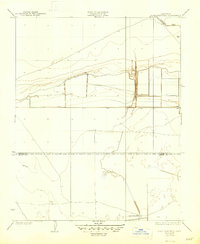
Editions of this 1936 Lone Tree Well Map
2 editions found
Other maps of this area

1914 · Lost Hills
USGS Topo · 1:125,000

1929 · Hacienda Ranch
USGS Topo · 1:31,680

1929 · West Alpaugh
USGS Topo · 1:31,680

1930 · Miramonte Ranch
USGS Topo · 1:31,680

1931 · Harvester
USGS Topo · 1:31,680

1932 · Dudley Ridge
USGS Topo · 1:31,680

1932 · Antelope Plain
USGS Topo · 1:31,680

1932 · Reynolds Ranch
USGS Topo · 1:31,680

1932 · West Camp
USGS Topo · 1:31,680

1932 · Lone Tree Well
USGS Topo · 1:31,680