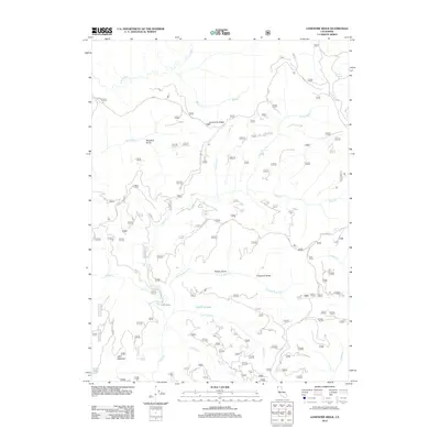
2012 Map of Lonesome Ridge
USGS Topo · Published 2012About this map
Lonesome Ridge defines the high ground of this Siskiyou Mountains landscape, where a network of watercourses and isolated outposts tell the story of a working forest in the early 21st century. The map reveals a complex drainage system led by Bluff Cr and its various branches, including the N Fork Bluff Cr and E Fork Bluff Cr. These waters flow through steep-walled terrain marked by features like Woodtick Gulch and Brushy Gulch. Small, specialized locations such as Louse Camp, Vans Camp, and Laird Meadow suggest the area's legacy of timber management and seasonal backcountry use. Higher elevations are dotted with smaller water bodies, including Deer Lick Lake and Onion Lake, while the presence of Cedar Camp Rd and various forest routes indicates the essential infrastructure required to navigate this portion of Humboldt County.
Find a feature on this map
22 named features on this map. Tap any name to fly to it.
Don’t see what you’re looking for? This feature index may not catch every label — zoom into the map to look around manually.
Map Details
Editions of this 2012 Lonesome Ridge Map
This is the sole edition of this map. No revisions or reprints were ever made.
Other maps of this area

1922 · Preston Peak
USGS Topo · 1:125,000

1925 · Hoopa
USGS Topo · 1:125,000

1945 · Ship Mountain
USGS Topo · 1:62,500

1945 · Tectah Creek
USGS Topo · 1:62,500

1948 · Weed
USGS Topo · 1:250,000

1950 · Weed
USGS Topo · 1:250,000

1952 · Ship Mountain
USGS Topo · 1:62,500

1952 · Orleans
USGS Topo · 1:62,500

1952 · Tectah Creek
USGS Topo · 1:62,500

1955 · Dillon Mtn
USGS Topo · 1:62,500