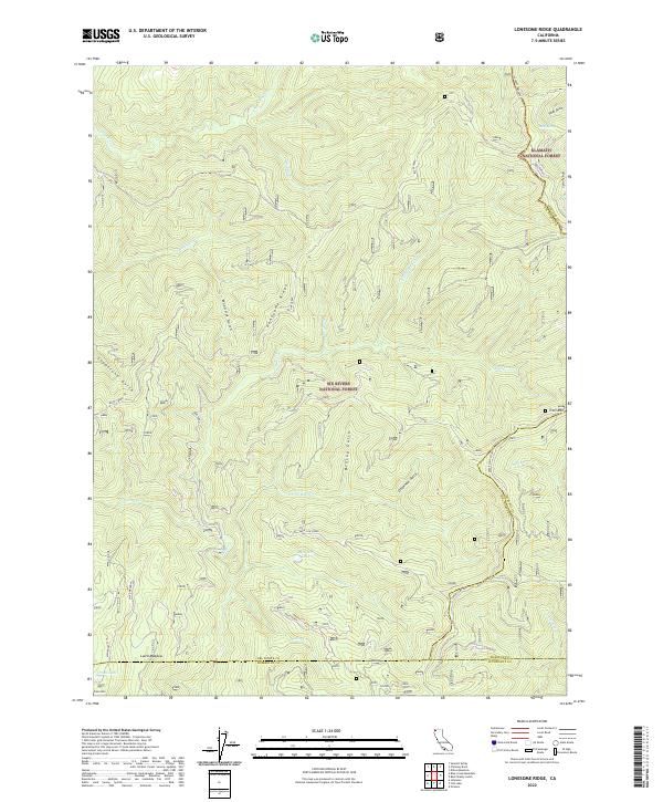
2022 Map of Lonesome Ridge
USGS Topo · Published 2022About this map
Lonesome Ridge runs through this remote high-country landscape at the intersection of Six Rivers National Forest and Klamath National Forest. The 2022 survey documents a complex network of ridgelines and drainages defined by Bluff Creek and its many tributaries, including Notice Cr and Catsup Cr. The absence of developed townsites reflects the area's role as protected timberland and wilderness, where landmarks are instead identified by natural clearings and high peaks. Genealogists and local historians can trace legacy transport routes like the Gasquet Orleans road and Cedar Camp Road, which provide access to interior features such as Laird Meadow and the secluded Onion Lake. From the summit of Onion Mtn to the depths of Woodtick Gulch, the topography illustrates the transition between Del Norte, Siskiyou, and Humboldt counties.
Find a feature on this map
41 named features on this map. Tap any name to fly to it.
Don’t see what you’re looking for? This feature index may not catch every label — zoom into the map to look around manually.
Map Details
Editions of this 2022 Lonesome Ridge Map
This is the sole edition of this map. No revisions or reprints were ever made.
Other maps of this area

1922 · Preston Peak
USGS Topo · 1:125,000

1925 · Hoopa
USGS Topo · 1:125,000

1945 · Ship Mountain
USGS Topo · 1:62,500

1945 · Tectah Creek
USGS Topo · 1:62,500

1948 · Weed
USGS Topo · 1:250,000

1950 · Weed
USGS Topo · 1:250,000

1952 · Ship Mountain
USGS Topo · 1:62,500

1952 · Orleans
USGS Topo · 1:62,500

1952 · Tectah Creek
USGS Topo · 1:62,500

1955 · Dillon Mtn
USGS Topo · 1:62,500