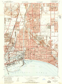
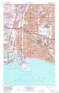
1958 Map of Long Beach
USGS Topo · Published 1958About this map
The urban expansion of Southern California is captured here just before the massive post-war growth fully connected the coastal communities. Long Beach serves as the focal point of a landscape transitioning from separate townships into a continuous metropolitan corridor. Inland, the map details established centers like Whittier, Downey, and Santa Fe Springs, while the coastline reveals the development of Manhattan Beach and Redondo Beach before the modern pier and harbor redevelopments.
Find a feature on this map
49 named features on this map. Tap any name to fly to it.
Don’t see what you’re looking for? This feature index may not catch every label — zoom into the map to look around manually.
Map Details
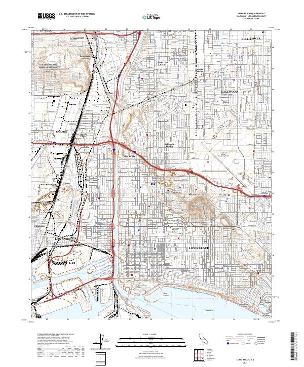
Editions of this 1958 Long Beach Map
This is the sole edition of this map. No revisions or reprints were ever made.
Historical Maps of Bixby Knolls Through Time
8 maps found