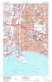
1949 Map of Long Beach
USGS Topo · Published 1949About this map
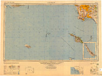
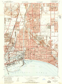
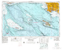
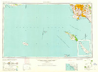
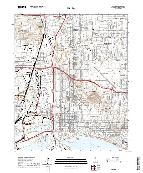
Los Angeles and the coastal expanses of the San Pedro Channel appear here just as the post-war building boom was transforming Southern California. The map documents the heavy industrial and maritime concentration around the San Pedro Hills, detailing the strategic footprint of Ft MacArthur Upper Reservation and the Pt MacArthur Lower Reservation. While the mainland shows emerging suburban grids in places like Lomita and Gardena, the offshore Channel Islands remain largely undeveloped outposts. Santa Catalina Island is shown with its primary harbor at Avalon Bay, while the more remote San Clemente Island and San Nicolas Island are charted with their various coves and landings. This 1947 road data captures the region's transport network before the full realization of the modern freeway system, highlighting the older arterial connections between Long Beach and the inland basins.
Find a feature on this map
81 named features on this map. Tap any name to fly to it.
Don’t see what you’re looking for? This feature index may not catch every label — zoom into the map to look around manually.
Map Details
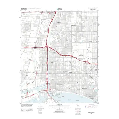
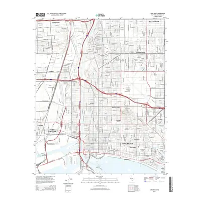
Editions of this 1949 Long Beach Map
2 editions found

Historical Maps of Los Angeles Through Time
11 maps found
1949 Long Beach
Los Angeles County, CA
1949 Long Beach
Los Angeles County, CA
1957 Long Beach
Los Angeles County, CA

1958 Long Beach
Los Angeles County, CA
1960 Long Beach
Los Angeles County, CA
1964 Long Beach
Los Angeles County, CA

1981 Long Beach
Los Angeles County, CA
2012 Long Beach
Los Angeles County, CA
2015 Long Beach
Los Angeles County, CA
2018 Long Beach
Los Angeles County, CA
2021 Long Beach
Los Angeles County, CA