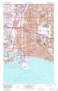
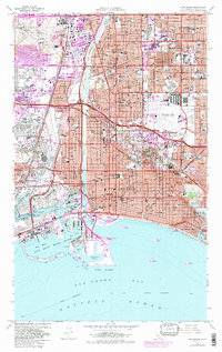
1964 Map of Long Beach
USGS Topo · Published 1987About this map
The industrial and maritime landscape of Long Beach is defined by its mid-century infrastructure and sprawling harbor developments. The Los Angeles River cuts a straight course through the center of the sheet, flanked by the heavy rail corridors of the Pacific Electric and Southern Pacific railroads. To the west, the extensive oil field developments near Wilmington and Dominguez Hills emphasize the era's energy economy, while the massive dredge-and-fill operations of the Middle Harbor and East Basin show the expansion of the U S Naval Shipyard.
Find a feature on this map
83 named features on this map. Tap any name to fly to it.
Don’t see what you’re looking for? This feature index may not catch every label — zoom into the map to look around manually.
Map Details
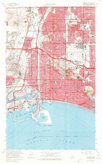
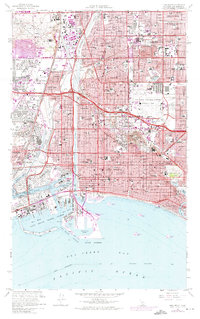
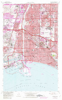
Editions of this 1964 Long Beach Map
5 editions found
Other maps of this area

1896 · Redondo
USGS Topo · 1:62,500

1896 · Las Bolsas
USGS Topo · 1:62,500

1896 · San Pedro
USGS Topo · 1:62,500

1896 · Downey
USGS Topo · 1:62,500

1899 · Downey
USGS Topo · 1:62,500

1901 · Southern California Sheet No. 1
USGS Topo · 1:250,000

1902 · Downey
USGS Topo · 1:62,500

1904 · Southern California Sheet No. 1
USGS Topo · 1:250,000

1923 · Wilmington
USGS Topo · 1:24,000
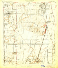
1924 · Compton
USGS Topo · 1:24,000