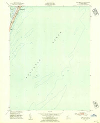
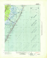
1951 Map of Long Beach NE
USGS Topo · Published 1954About this map
Barnegat Light stands at the northern tip of this barrier island landscape, where the land narrows between the Barnegat Bay and the open Atlantic Ocean. The settlement pattern at the start of the 1950s is concentrated along the northern coast, defined by the parallel paths of Long Beach Blvd and Central Ave. This survey captures the area's geography just as mid-century coastal development was taking shape, including the designated grounds of Long Beach Park and the low-lying marsh of Vol Sedge in the bay. Most of the sheet is dedicated to hydrography, showing depth curves and soundings from surveys conducted in the mid-1930s, providing a detailed look at the shifting shoals and underwater topography surrounding Long Beach during this era.
Find a feature on this map
9 named features on this map. Tap any name to fly to it.
Don’t see what you’re looking for? This feature index may not catch every label — zoom into the map to look around manually.
Map Details
Editions of this 1951 Long Beach NE Map
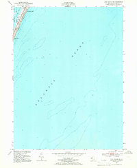
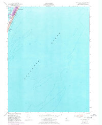
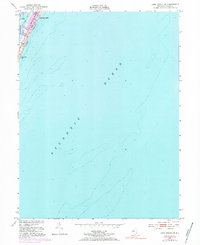
4 editions found
Other maps of this area

1888 · Barnegat
USGS Topo · 1:62,500

1888 · Long Beach
USGS Topo · 1:62,500

1893 · Long Beach
USGS Topo · 1:62,500

1893 · Barnegat
USGS Topo · 1:62,500

1898 · Barnegat
USGS Topo · 1:62,500

1919 · Long Beach
USGS Topo · 1:62,500

1919 · Barnegat
USGS Topo · 1:62,500

1941 · Toms River
USGS Topo · 1:62,500
1941 · Long Beach
USGS Topo · 1:62,500

1946 · Wilmington
USGS Topo · 1:250,000