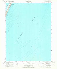
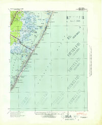
1951 Map of Long Beach NE
USGS Topo · Published 1966About this map
Barnegat Light stands at the northern tip of this barrier island segment, marking the critical junction between the open Atlantic Ocean and the sheltered waters of Barnegat Bay. This 1951 survey, with hydrography updated from mid-1930s coastal charts, provides a focused look at the maritime geography of Long Beach during the mid-century. Small developed pockets like Long Beach Park are visible, showing the early residential footprint before extensive modern expansion. The map is primarily characterized by its bathymetric detail, documenting depth curves and soundings that reveal the shifting shoals and underwater topography near Vol Sedge. It documents a specific moment in the evolution of the Jersey Shore's northern reaches, where the navigation of the inlet and the stability of the narrow land strip were of paramount importance to local mariners.
Find a feature on this map
6 named features on this map. Tap any name to fly to it.
Don’t see what you’re looking for? This feature index may not catch every label — zoom into the map to look around manually.
Map Details
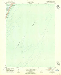
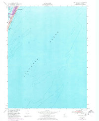
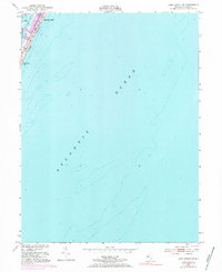
Editions of this 1951 Long Beach NE Map
4 editions found
Other maps of this area

1888 · Barnegat
USGS Topo · 1:62,500

1888 · Long Beach
USGS Topo · 1:62,500

1893 · Long Beach
USGS Topo · 1:62,500

1893 · Barnegat
USGS Topo · 1:62,500

1898 · Barnegat
USGS Topo · 1:62,500

1919 · Long Beach
USGS Topo · 1:62,500

1919 · Barnegat
USGS Topo · 1:62,500

1941 · Toms River
USGS Topo · 1:62,500
1941 · Long Beach
USGS Topo · 1:62,500

1946 · Wilmington
USGS Topo · 1:250,000