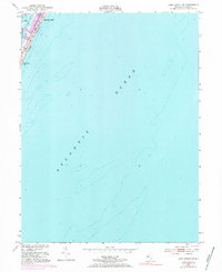
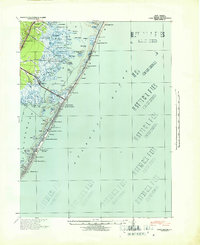
1951 Map of Long Beach NE
USGS Topo · Published 1984About this map
Barnegat Light stands at the northern tip of Long Beach, marking the critical junction where the Barnegat Bay meets the vast Atlantic Ocean. This mid-century survey, based on data from 1950 and updated with 1972 aerial photography, captures the narrow barrier island during a period of steady coastal development. The map details the residential grid extending south from the lighthouse towards Long Beach Park, while the bay side reveals the shifting marshlands and islets like Vol Sedge. Detailed hydrographic soundings from the 1930s provide a deep look at the underwater topography of the shore, showing the complex shoals and channels that have historically challenged navigators entering the inlet. The purple revisions on the map specifically highlight the expansion of the built environment in the early 1970s, making it a valuable resource for tracing the growth of this iconic Jersey Shore community.
Find a feature on this map
7 named features on this map. Tap any name to fly to it.
Don’t see what you’re looking for? This feature index may not catch every label — zoom into the map to look around manually.
Map Details
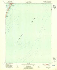
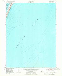
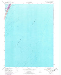
Editions of this 1951 Long Beach NE Map
4 editions found
Other maps of this area

1888 · Barnegat
USGS Topo · 1:62,500

1888 · Long Beach
USGS Topo · 1:62,500

1893 · Long Beach
USGS Topo · 1:62,500

1893 · Barnegat
USGS Topo · 1:62,500

1898 · Barnegat
USGS Topo · 1:62,500

1919 · Long Beach
USGS Topo · 1:62,500

1919 · Barnegat
USGS Topo · 1:62,500

1941 · Toms River
USGS Topo · 1:62,500
1941 · Long Beach
USGS Topo · 1:62,500

1946 · Wilmington
USGS Topo · 1:250,000