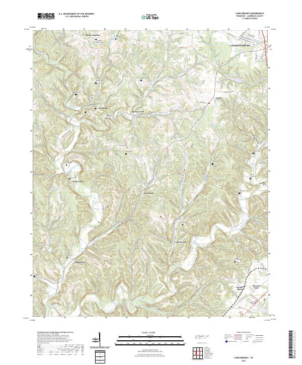
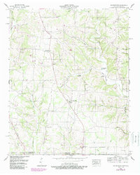
2022 Map of Long Branch
USGS Topo · Published 2022About this map
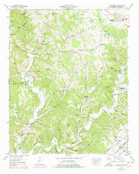
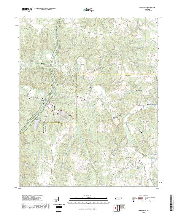
Shoal Creek and its many winding tributaries define the topography of this Tennessee landscape south of Lawrenceburg. Small rural settlements like Mount Lebanon and Pea Ridge are scattered across the higher ground, often centered around family and community burial sites such as Mount Lebanon Cem and the Kilburn Cem. The map reveals a high density of these smaller cemeteries, including Luna Cem, Bailey Cem, and Payne Cem, which offer significant value for genealogical research in this part of Lawrence County.
Find a feature on this map
115 named features on this map. Tap any name to fly to it.
Don’t see what you’re looking for? This feature index may not catch every label — zoom into the map to look around manually.
Map Details
Editions of this 2022 Long Branch Map
This is the sole edition of this map. No revisions or reprints were ever made.
Historical Maps of Mount Lebanon Through Time
17 maps found
1936 Bonnertown
Lawrence County, TN
1936 Crestview
Lawrence County, TN
1936 Deerfield
Lawrence County, TN
1936 Henryville
Lawrence County, TN
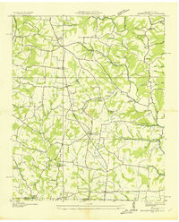
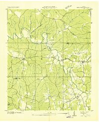
1936 Long Branch
Lawrence County, TN
1936 Ovilla
Lawrence County, TN
1950 Bonnertown
Lawrence County, TN
1950 Deerfield
Lawrence County, TN
1951 Henryville
Lawrence County, TN
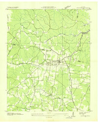
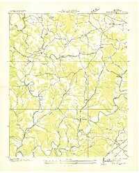
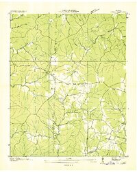
1951 Long Branch
Lawrence County, TN
1951 Ovilla
Lawrence County, TN
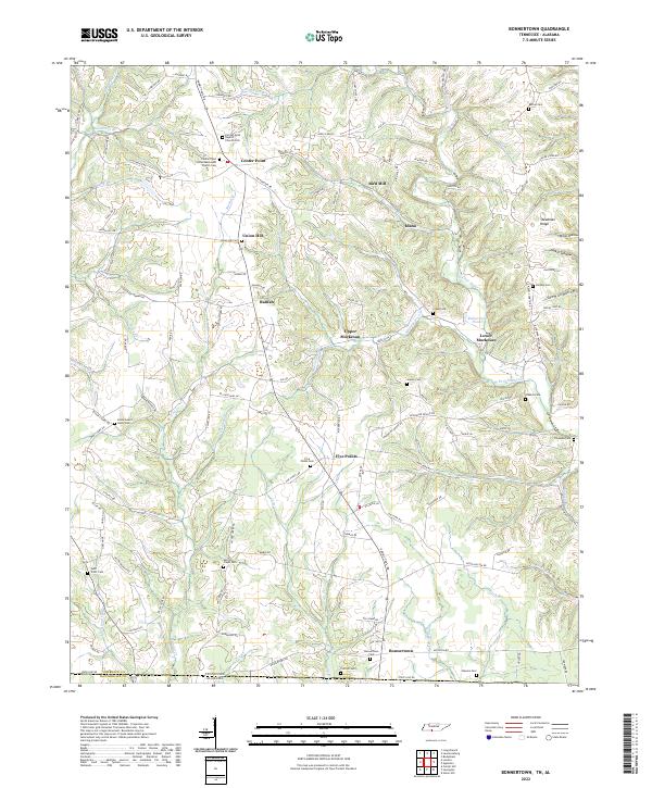
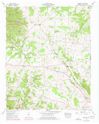
2022 Bonnertown
Lawrence County, TN
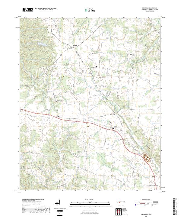
2022 Deerfield
Lawrence County, TN
2022 Long Branch
Lawrence County, TN
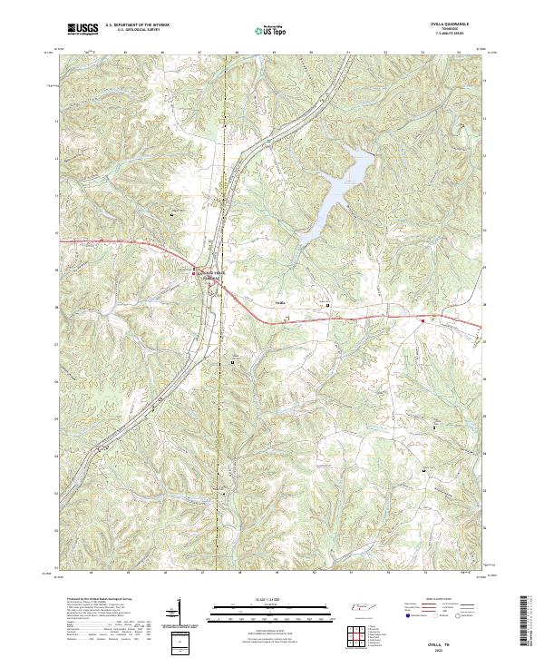
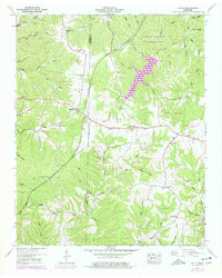
2022 Ovilla
Lawrence County, TN
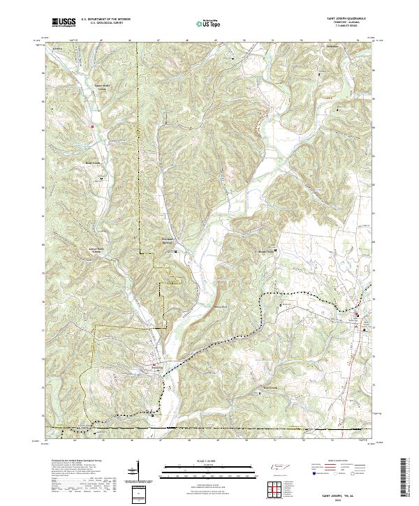
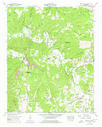
2022 Saint Joseph
Lawrence County, TN
2023 Henryville
Lawrence County, TN