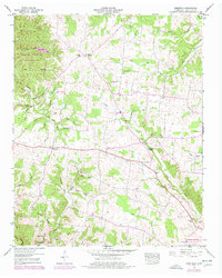
1950 Map of Deerfield
USGS Topo · Published 1977About this map
The Laurel Hill Wildlife Management Area occupies the northwest portion of this landscape, characterized by the winding path of the Little Buffalo River and its numerous tributaries. Settled life is centered around the village of Deerfield and smaller rural nodes like Center, Hudson, and Red Hill. The map reveals a community structured around its faith and agriculture, with several country churches including Greenwood Ch, Macedonia Ch, and Pleasant Grove Church.
Find a feature on this map
54 named features on this map. Tap any name to fly to it.
Don’t see what you’re looking for? This feature index may not catch every label — zoom into the map to look around manually.
Map Details
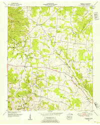
Editions of this 1950 Deerfield Map
2 editions found
Other maps of this area

1905 · Waynesboro
USGS Topo · 1:125,000

1936 · Riverside
USGS Topo · 1:24,000

1936 · Westpoint
USGS Topo · 1:24,000

1936 · Deerfield
USGS Topo · 1:24,000

1936 · Henryville
USGS Topo · 1:24,000

1936 · Lawrenceburg
USGS Topo · 1:24,000

1936 · Ethridge
USGS Topo · 1:24,000

1936 · Long Branch
USGS Topo · 1:24,000

1936 · Crestview
USGS Topo · 1:24,000

1936 · Ovilla
USGS Topo · 1:24,000