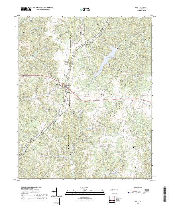
2022 Map of Ovilla
USGS Topo · Published 2022About this map
The Natchez Trace Parkway serves as a modern corridor through this upland landscape, following the historic route along the boundary between Wayne and Lawrence counties. Centered on the settlement of Ovilla, the area is defined by a dense network of hollows and ridges drained by tributaries such as Brush Creek and Fortyeight Creek. The eastern portion of the map is dominated by Laurel Hill Lake, a significant water feature fed by Peter Cave Creek and Galloway Branch.
Find a feature on this map
97 named features on this map. Tap any name to fly to it.
Don’t see what you’re looking for? This feature index may not catch every label — zoom into the map to look around manually.
Map Details
Editions of this 2022 Ovilla Map
This is the sole edition of this map. No revisions or reprints were ever made.
Other maps of this area

1905 · Waynesboro
USGS Topo · 1:125,000

1936 · Riverside
USGS Topo · 1:24,000

1936 · Westpoint
USGS Topo · 1:24,000

1936 · Deerfield
USGS Topo · 1:24,000

1936 · Collinwood
USGS Topo · 1:24,000

1936 · Henryville
USGS Topo · 1:24,000

1936 · Negro Hollow
USGS Topo · 1:24,000

1936 · Long Branch
USGS Topo · 1:24,000

1936 · Topsy
USGS Topo · 1:24,000

1936 · Ovilla
USGS Topo · 1:24,000