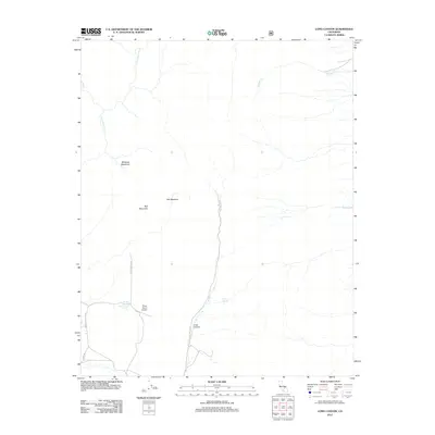
2012 Map of Long Canyon
USGS Topo · Published 2012About this map
S Fork Kern River flows through the high Sierra terrain of Tulare County, defining a landscape of high-elevation meadows and remote mountain drainage systems. The Porter Ranch Airport serves as a lone aviation landmark in this backcountry area, situated near the intersection of Kennedy Meadow Rd and Meadow View Rd. This 2012 survey illustrates a region largely shaped by its water sources and grazing lands, including Wildrose Meadows and Ball Meadow near Ball Mountain. Travel through the area is defined by primitive access, with the Long Canyon Trl following the namesake Long Canyon. Perennial water sources such as Windy Springs and Willow Spring provide critical points of interest for those tracing the historical use of these remote California highlands.
Find a feature on this map
15 named features on this map. Tap any name to fly to it.
Don’t see what you’re looking for? This feature index may not catch every label — zoom into the map to look around manually.
Map Details
Editions of this 2012 Long Canyon Map
This is the sole edition of this map. No revisions or reprints were ever made.
Other maps of this area

1905 · Olancha
USGS Topo · 1:125,000

1906 · Kernville
USGS Topo · 1:125,000

1907 · Olancha
USGS Topo · 1:125,000

1908 · Kernville
USGS Topo · 1:125,000

1908 · Ballarat
USGS Topo · 1:250,000

1913 · Ballarat
USGS Topo · 1:250,000

1915 · Searles Lake
USGS Topo · 1:250,000

1947 · Trona
USGS Topo · 1:250,000

1948 · Trona
USGS Topo · 1:250,000

1948 · Death Valley
USGS Topo · 1:250,000