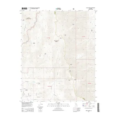
2015 Map of Long Canyon
USGS Topo · Published 2015About this map
Kennedy Meadows serves as a vital transition point for high-altitude exploration in this 2015 survey, situated where the South Fork Kern River winds through the southern extent of the Sierra Nevada. This area is a significant hub for wilderness travel, featuring the Pacific Crest National Scenic Trail as it traverses the western edge of the quadrangle. The map documents the local infrastructure supporting the remote community, including Porter Ranch Airport and a network of residential roads like Glimpse Dr and Ponderosa Rd.
Find a feature on this map
38 named features on this map. Tap any name to fly to it.
Don’t see what you’re looking for? This feature index may not catch every label — zoom into the map to look around manually.
Map Details
Editions of this 2015 Long Canyon Map
This is the sole edition of this map. No revisions or reprints were ever made.
Other maps of this area

1905 · Olancha
USGS Topo · 1:125,000

1906 · Kernville
USGS Topo · 1:125,000

1907 · Olancha
USGS Topo · 1:125,000

1908 · Kernville
USGS Topo · 1:125,000

1908 · Ballarat
USGS Topo · 1:250,000

1913 · Ballarat
USGS Topo · 1:250,000

1915 · Searles Lake
USGS Topo · 1:250,000

1947 · Trona
USGS Topo · 1:250,000

1948 · Trona
USGS Topo · 1:250,000

1948 · Death Valley
USGS Topo · 1:250,000