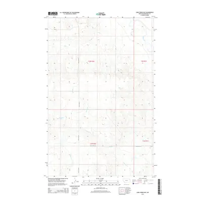
2014 Map of Long Creek East
USGS Topo · Published 2014About this map
The Poplar River winds through the eastern edge of this Roosevelt County landscape, defining the hydrology of a region where water and topography dictate the path of travel. To the west, Horseshoe Lake sits as a prominent landmark in an area carved by numerous seasonal drainages, including Long Cr and the extensive reach of Culbertson Cr. The map details a strictly organized grid of rural roads and section lines, with Poplar River Rd serving as a primary north-south artery. The intersection of Empire Bridge Rd and secondary routes like Cr-2050 illustrates the late 20th-century infrastructure that supports the ranching and agricultural operations of this corner of Montana. This survey provides a clear view of the natural and man-made boundaries across Townships 29 and 30 North.
Find a feature on this map
13 named features on this map. Tap any name to fly to it.
Don’t see what you’re looking for? This feature index may not catch every label — zoom into the map to look around manually.
Map Details
Editions of this 2014 Long Creek East Map
This is the sole edition of this map. No revisions or reprints were ever made.
Other maps of this area

1910 · Cuskers
USGS Topo · 1:62,500

1912 · Chelsea
USGS Topo · 1:62,500

1912 · Hay Creek
USGS Topo · 1:62,500

1912 · Poplar
USGS Topo · 1:62,500

1915 · Cuskers
USGS Topo · 1:62,500

1954 · Wolf Point
USGS Topo · 1:250,000

1958 · Wolf Point
USGS Topo · 1:250,000

1972 · Chelsea
USGS Topo · 1:24,000

1972 · Poplar NE
USGS Topo · 1:24,000
1972 · Badger Creek
USGS Topo · 1:24,000