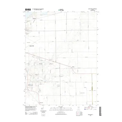
2015 Map of Long Creek
USGS Topo · Published 2015About this map
Decatur's eastern sprawl meets the agricultural heart of Macon County in this 21st-century topographic study. The landscape is defined by the massive infrastructure of the Decatur Airport and the sprawling rural-suburban interface of Mount Zion. Local history and genealogy are anchored by several scattered burial sites including North Fork Cem and Point Pleasant Cem, which stand near the meandering path of Long Cr.
Find a feature on this map
85 named features on this map. Tap any name to fly to it.
Don’t see what you’re looking for? This feature index may not catch every label — zoom into the map to look around manually.
Map Details
Editions of this 2015 Long Creek Map
This is the sole edition of this map. No revisions or reprints were ever made.
Other maps of this area

1929 · Decatur
USGS Topo · 1:62,500

1933 · Decatur
USGS Topo · 1:62,500

1935 · Sullivan
USGS Topo · 1:48,000

1940 · Sullivan
USGS Topo · 1:62,500

1949 · Dalton City
USGS Topo · 1:62,500

1955 · Bement
USGS Topo · 1:62,500

1958 · Decatur
USGS Topo · 1:250,000

1961 · Decatur
USGS Topo · 1:250,000

1967 · Long Creek
USGS Topo · 1:24,000
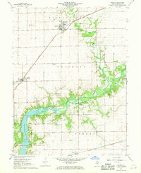
1967 · Argenta
USGS Topo · 1:24,000