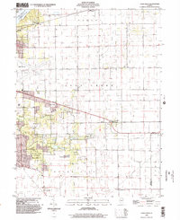
1998 Map of Long Creek
USGS Topo · Published 2002About this map
The Lake Decatur Sangamon River and its tributary Long Creek define the geography of this central Illinois landscape at the close of the twentieth century. The map illustrates the suburban expansion and protected green spaces surrounding the southeast edge of the county seat, notably including Spitler Woods State Park and the Fort Daniel Conservation Area. Agriculture still dominates the rural stretches between established settlements like Mount Zion, Oakley, and Casner, where grain elevators and rail connections historically anchored the local economy.
Find a feature on this map
30 named features on this map. Tap any name to fly to it.
Don’t see what you’re looking for? This feature index may not catch every label — zoom into the map to look around manually.
Map Details
Editions of this 1998 Long Creek Map
This is the sole edition of this map. No revisions or reprints were ever made.
Other maps of this area

1929 · Decatur
USGS Topo · 1:62,500

1933 · Decatur
USGS Topo · 1:62,500

1935 · Sullivan
USGS Topo · 1:48,000

1940 · Sullivan
USGS Topo · 1:62,500

1949 · Dalton City
USGS Topo · 1:62,500

1955 · Bement
USGS Topo · 1:62,500

1958 · Decatur
USGS Topo · 1:250,000

1961 · Decatur
USGS Topo · 1:250,000

1967 · Long Creek
USGS Topo · 1:24,000
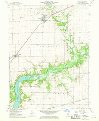
1967 · Argenta
USGS Topo · 1:24,000