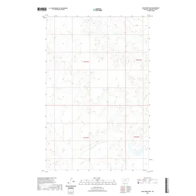
2020 Map of Long Creek West
USGS Topo · Published 2020About this map
Long Cr and its various tributaries carve through the drainages of Roosevelt County, Montana, in this remote section of the High Plains. The landscape is defined by its seasonal watercourses, including the north-flowing Boxelder Cr and the winding path of Little Badger Cr to the southeast. These geographic features dictate the sparse infrastructure of the region, where gravel and unimproved roads like Co Rd 1056 and 2042 Rd follow the contours of the terrain.
Find a feature on this map
10 named features on this map. Tap any name to fly to it.
Don’t see what you’re looking for? This feature index may not catch every label — zoom into the map to look around manually.
Map Details
Editions of this 2020 Long Creek West Map
This is the sole edition of this map. No revisions or reprints were ever made.
Other maps of this area

1910 · Cuskers
USGS Topo · 1:62,500

1912 · Chelsea
USGS Topo · 1:62,500

1912 · Hay Creek
USGS Topo · 1:62,500

1912 · Poplar
USGS Topo · 1:62,500

1915 · Cuskers
USGS Topo · 1:62,500

1954 · Wolf Point
USGS Topo · 1:250,000

1958 · Wolf Point
USGS Topo · 1:250,000

1972 · Chelsea
USGS Topo · 1:24,000

1972 · Chelsea NW
USGS Topo · 1:24,000
1972 · Badger Creek
USGS Topo · 1:24,000